Full Via Podiensis:
Self-Guided Tour
Le Puy-en-Velay ⇒ Saint-Jean-Pied-de-Port
This tour of the Via Podiensis stretches brings you all the way from Le Puy in France to the starting point of the Camino Francés (French Way) in Saint-Jean-Pied-de-Port. Enjoy the landscape, which is diverse: from the volcanic landscape of Auvergne and Velay, the delightful Lot Valley, the limestone plateau of the Causses, to the hilly green foothills of the Pyrenees.
Tour Type: Self-Guided
Availability: April through October
Duration: 37 Days Total / 35 Days Walking
Total Distance: 728.5 km. (452 mi.)
Difficulty: moderate
Average distance: 20.8 km. (12.9 mi.) / Day
Prices (per person):
Double Room:
Starting from € 3.490
Single-Occupancy Room:
Starting from € 4.790
What’s Included:
36 nights in single / double room
En-suite facilities
Halfboard (subject to availability)
English-speaking emergency assistance
Your full digital Travel Info Package
Details ⇒
We are proud to be working together with hand-picked, high quality and mostly locally owned and operated service providers.
On the Via Podiensis, especially in the small towns, it is difficult to find places to eat by yourself if it is not booked in advance. For this reason, on the Via Podiensis we offer accommodation only in combination with the booking of half board.
Your journey will be booked through, and your Travel Package will include all the information you will need to access your lodging locations and to process your check-in.
Optional Add-ons:
Luggage transfer on walking days
Lodging for additional night(s) stays
Airport transfers (by taxi)
Details ⇒
If you wish to walk your Camino Stages with a light backpack, carrying only the basic necessities, we will be happy to arrange for your luggage to be forwarded from one hotel to the next on your walking days.
Spending an extra night in a given town throughout your journey is often a good idea: you give your body a rest, relax and enjoy exploring the town. In Santiago, two nights are included in most of our Tours by default as we believe it’s the least a Pilgrim would need to enjoy the City; however, you have the option to opt out of it.
We will be happy to arrange for an airport shuttle transfer for you from your airport of arrival to the starting point of your journey. The same goes for the departure, unless you end your journey in Santiago and fly out of Santiago Airport. In that case, a taxi can be easily arranged for the time of your choice directly at the Reception Desk at your Hotel.
What’s not Included:
Flights
Travel Insurance
Tour guide
Additional meals
Details ⇒
We do not book flights, nor organize any rail or commercial bus-line travel. However, if you need assistance in deciding how to get to and back from your Camino Tour, we will be happy to assist you with tips and ideas!
We strongly recommend to all our travelers to get a Travel Insurance; however, we do not sell any such policies. For our international clients, it is best to get a policy in their country of residence, as some countries offer insurances only to their own residents.
This is a date-flexible tour; therefore, it is self-guided – no Tour Guide will be accompanying you. If you are interested in joining a Group Tour with a Tour Guide, please check our Guided Tours page. (Note: our Guided Tours take place on set dates that are planned ahead.)
Highlights
This Camino in France begins in the Auvergne region, characterized by the Massif Central of France, whose volcanic origin is here.
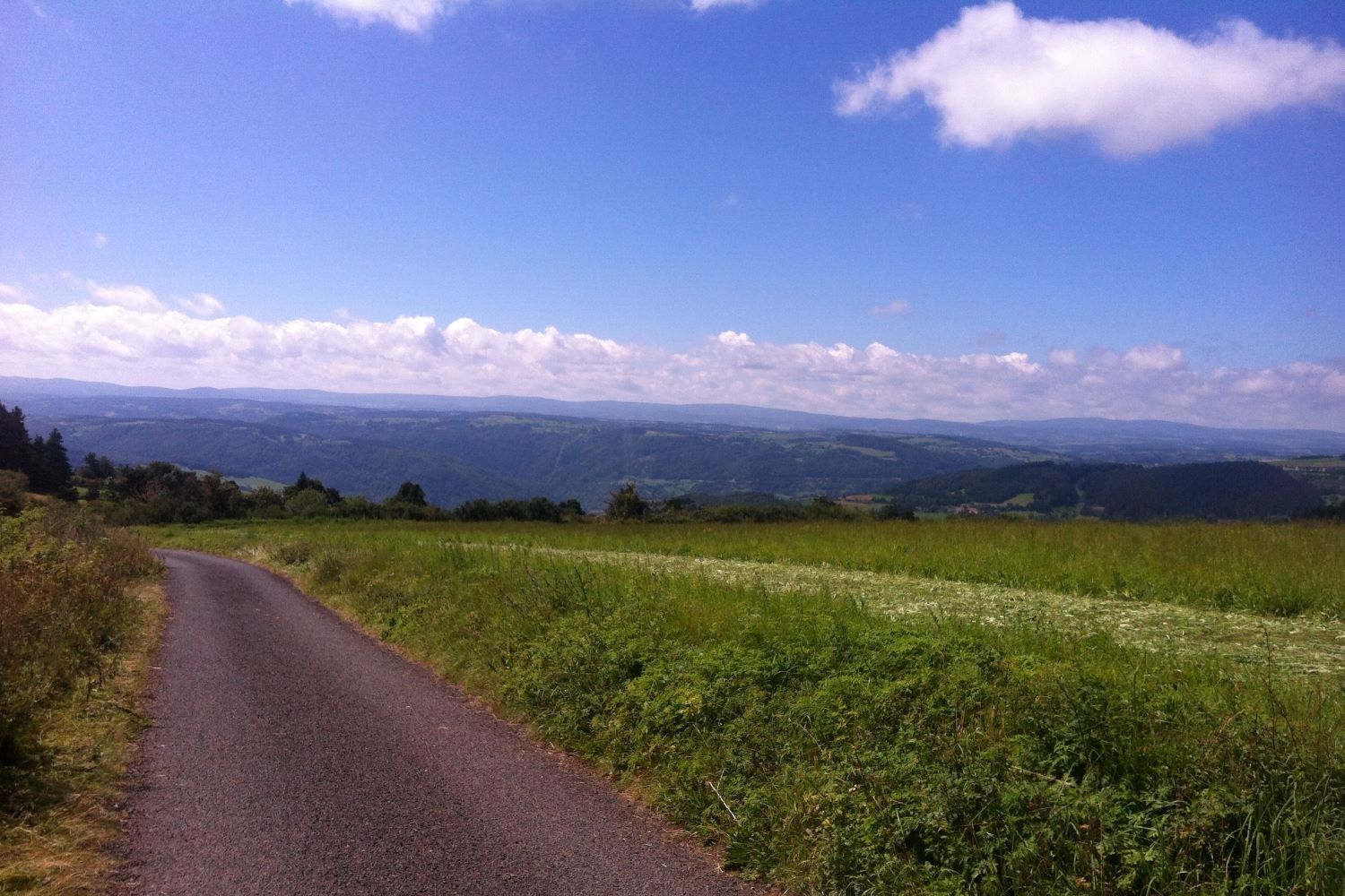
The landscape the Way of Saint James then passes through is diverse: from the volcanic landscape of Velay, the delightful Lot Valley, the limestone plateau of the Causses, to the hilly green foothills of the Pyrenees.
The signposting is good and there are numerous accommodations, though few pilgrim hostels, as you might know them from Spain. The budget reserved for accommodations must therefore be a little higher.
Impressions from the Camino
Itinerary
Day 1: Arrival in Le Puy-en-Velay
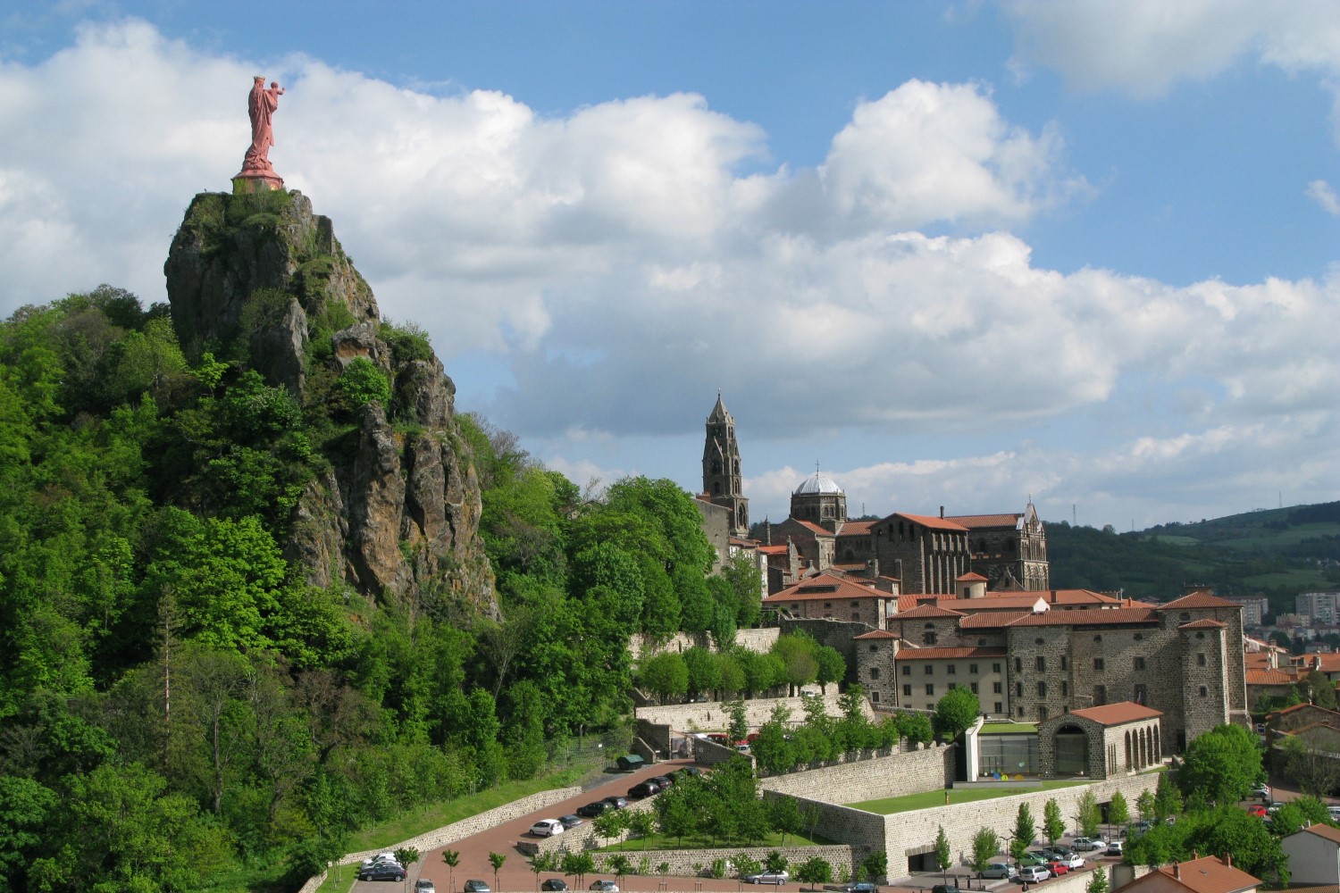
Independent arrival in Le Puy-en-Velay, located in France, where your pilgrimage on the Via Podiensis on the French Way begins. Proceed to your room and prepare mind and body for the Camino.
Day 1: Arrival in Le Puy-en-Velay
Independent arrival in Le Puy-en-Velay, located in France, where your pilgrimage on the Via Podiensis on the French Way begins. Proceed to your room and prepare mind and body for the Camino.
Day 2: Le Puy-en-Velay – Saint-Privat-d’Allier • 23.5 km. (14.6 mi.)
The pilgrimage tour begins today on the Camino from Le Puy to Saint-Privat-d’Allier. The Camino takes you along roads, tracks, and hiking trails with medium and sometimes steeper ascents and descents.
Distance: 23.5 km. (14.6 mi.) | Difficulty: challenging
Day 3: Saint-Privat-d’Allier – Saugues • 19 km. (12 mi.)
From Saint-Privat, we descend to Monistrol-d’Allier, situated on the banks of the Allier which we will cross. From there, the Camino takes us up again to the plateau of the Margeride.
Distance: 19 km. (12 mi.) | Difficulty: Challenging
Day 4: Saugues – Les Faux • 28 km. (17.4 mi.)
Through the Margeride and its impressive granite blocks, over cow pastures and through small forests, you will first go to Le Sauvage. You will then cross the Margeride Pass (second highest point of the Via Podiensis after the Pyrenees) and continue past the Roch Fountain to the Chapelle de Saint-Roch. We spend the night in Les Faux.
Distance: 28 km. (17.4 mi.) | Difficulty: Moderate
Day 5: Les Faux – Aumont-Aubrac • 20 km. (12.4 mi.)
On this day, you will leave the Margeride and enter, almost without noticing, the mountainous region of the Aubrac. The day’s destination, Aumont-Aubrac, is also referred to as the “Gate of Aubrac”.
Distance: 20 km. (12.4 mi.) | Difficulty: Moderate
Day 6: Aumont-Aubrac – Montgros • 24 km. (15 mi.)
On the plateau of Aubrac, you will constantly encounter herds of the famous Aubrac cattle. You will reach Montgros.
Distance: 24 km. (15 mi.) | Difficulty: Easy
Day 7: Montgros – Nasbinals – Saint-Chély-d’Aubrac • 20 km. (12 mi.)
We initially continue through Aubrac toward Nasbinals and its Romanesque church of Notre-Dame, a real gem on the French Way. Your destination is Saint-Chély-d’Aubrac.
Distance: 20 km. (12 mi.) | Difficulty: Easy
Day 8: Saint-Chély-d’Aubrac – Saint -Côme-d´Olt • 16 km. (10 mi.)
The Camino leaves here Aubrac and enters the Lot Valley, one of the major rivers that flow through the Massif Central.
Distance: 16 km. (10 mi.) | Difficulty: Moderate
Day 9: Saint-Côme-d’Olt – Estaing • 18 km. (11 mi.)
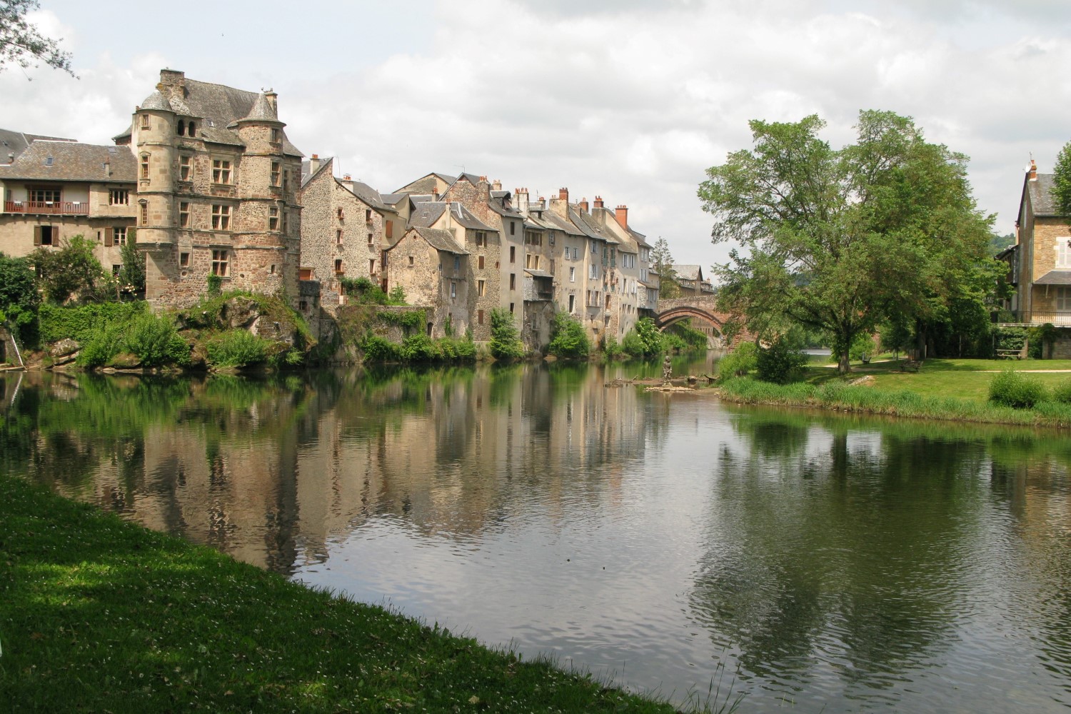
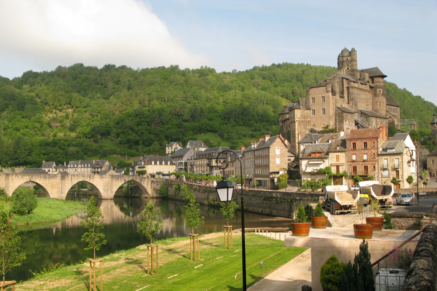
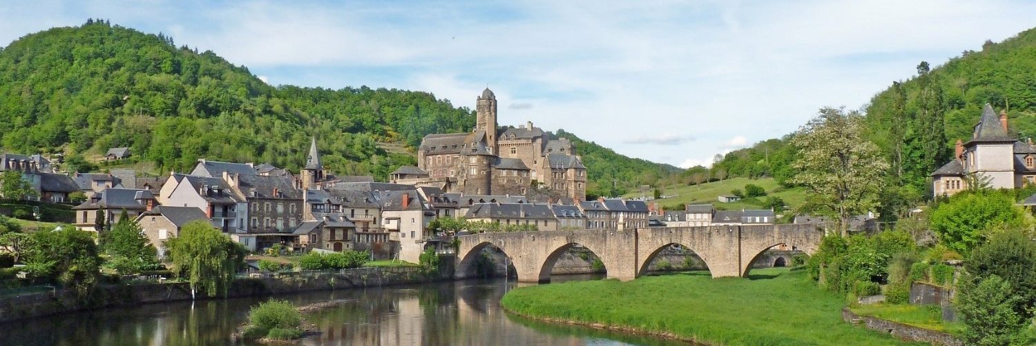
You walk via Espalion, also called “The First Smile of the South.” You spend the night in Estaing and its Gothic bridge. It is also the home of the d’Estaing family, whose most famous son, Valéry Giscard d’Estaing, was former president of France.
Distance: 18 km. (11 mi.) | Difficulty: Moderate
Day 10: Estaing – Golinhac • 15 km. (9 mi.)
The Lot Valley shows once again its most beautiful side: small villages, views of the valley, plateaus, light and shadowy deciduous forests are waiting for you.
Distance: 15 km. (9 mi.) | Difficulty: Moderate
Day 11: Golinhac – Conques • 21 km. (13 mi.)
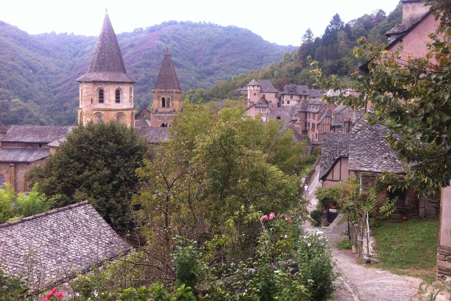
Over tracks and forest paths, and a short mountainous stage, we reach a highlight of the Via Podensis: Conques and its wonderful Romanesque monastery church.
Distance: 21 km. (13 mi.) | Difficulty: Moderate
Day 12: Conques – Livinhac-le-Haut • 24 km. (15 mi.)
After Conques, we start ascending again. Through chestnut forests, you will reach the green hilly landscape of Rouergue until Livinhac-le-Haut, where, shortly before, you meet the Lot again.
Distance: 24 km. (15 mi.) | Difficulty: Moderate
Day 13: Livinhac-le-Haut – Figeac • 25 km. (16 mi.)
Along tracks, the Camino continues to Figeac, passing pastures and fields, and through small hamlets via Montredon and Felzins. The town’s most famous son is Jean-François Champollion, who was the first European to decipher Egyptian hieroglyphics.
Distance: 25 km. (16 mi.) | Difficulty:Moderate
Day 14: Figeac – Le Puy Clavel (Gréalou) • 20 km. (12 mi.)
Past Figeac, the Camino leads up to the Causses, which, with its austere beauty and sparse population, is one of the most impressive landscapes in France. Passing prehistoric dolmens, the Camino continues to Le Puy Clavel just before Gréalou.
Distance: 20 km. (12 mi.) | Difficulty: Easy
Day 15: Le Puy Clavel (Gréalou) – Cajarc • 11 km. (7 mi.)
Your destination today on this short stage is Cajarc, the center of saffron cultivation in France.
Distance: 11 km. (7 mi.) | Difficulty: Easy
Day 16: Cajarc – Limogne-en-Quercy • 17 km. (11 mi.)
You will leave the fertile Lot Valley again in order to ascend the rocky Chausses afterward. Passing low oak forests, junipers, and boxwood bushes, you will reach Limogne-en-Quercy.
Distance: 17 km. (11 mi.) | Difficulty: Easy
Day 17: Limogne-en-Quercy – Mas de Vers • 22 km. (14 mi.)
You will first continue through the sparsely populated limestone plateau to the small village of Varaire, where time seems to have stopped. You will reach Mas de Vers, where you spend the night.
Distance: 22 km. (14 mi.) | Difficulty: Easy
Day 18: Mas de Vers – Cahors • 17 km. (11 mi.)
The barrenness and solitude of the road accompany pilgrims until just before Cahors. Starting from the plateau, with a beautiful view of the stage destination, the Camino descends to the city that nestles in a meander of the Lot.
Distance: 17 km. (11 mi.) | Difficulty: Easy
Day 19: Cahors – Lascabanes • 23 km. (14 mi.)
On your way through the limestone plateau of Quercy Blanc, you will reach Lascabanes and pass fields of cereals, sunflowers, corn, or melons.
Distance: 23 km. (14 mi.) | Difficulty: Moderate
Day 20: Lascabanes – Lauzerte • 23 km. (14 mi.)
Through small river valleys and over gently rolling hills used for growing fruits and vegetables, the Camino continues today to Lauzerte.
Distance: 23 km. (14 mi.) | Difficulty: Moderate
Day 21: Lauzerte – Moissac • 25 km. (16 mi.)
Through the hilly landscape of the Tarn and the Garonne, you will reach Moissac. Next to Conques, it is the most important stop on the Via Podiensis from a historical and cultural point of view.
Distance: 25 km. (16 mi.) | Difficulty: Moderate
Day 22: Moissac – Saint Antoine de-Point-d’Arratz • 29 km. (18 mi.)
You will leave Moissac and walk along a towpath through several small villages. The route continues through Gascony, a region rich in history that can already be considered part of the Pyrenean foothills.
Distance: 29 km. (18 mi.) | Difficulty: Easy, but longer stage
Day 23: Saint Antoine de-Point-d’Arratz – Lectoure • 24 km. (15 mi.)
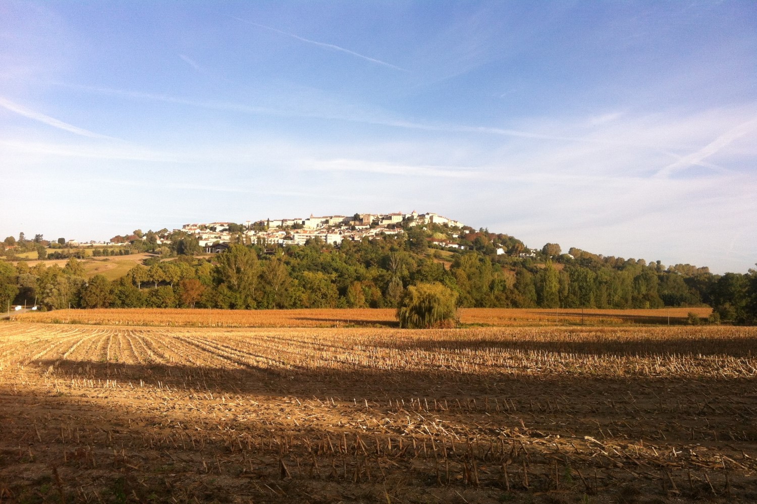
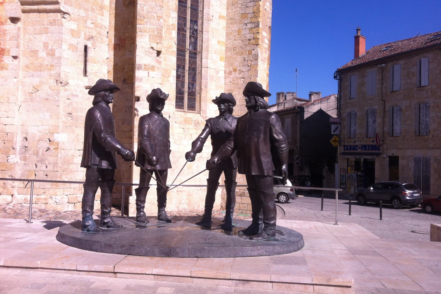
On this day, the Camino leads through the Arrat Valley and further into the heart of Gascony, home of the character based on d’Artagnan from Alexandre Dumas’s famous novel The Three Musketeers. Over ridges, small valleys, and streams, the Camino goes through an intensively farmed region to Lectoure, former episcopal see and one of the oldest villages in the area.
Distance: 24 km. (15 mi.) | Difficulty: Easy
Day 24: Lectoure – La Romieu • 18 km. (11 mi.)
On well-marked tracks, forest paths or asphalted roads, you will hike today from Lectoure to the beautiful village of La Romieu, which houses an interesting collegiate church with a lovely cloister.
Distance: 18 km. (11 mi.) | Difficulty: Easy
Day 25: La Romieu – Condom • 16 km. (10 mi.)
After leaving La Romieu behind, you continue your pilgrimage along tracks through a beech grove. With increasing frequency, you will now pass vineyards that shape the heartland of Gascony, the Armagnac region. You reach Condom, a typical small town of Gascony.
Distance: 16 km. (10 mi.) | Difficulty: Easy
Day 26: Condom – Montréal-du-Gers • 17 km. (11 mi.)
You will walk through the Armagnac region and its vineyards, groves, fields of melons, sunflowers, or cereals. Up on the hills are the typical bastide villages, such as Montréal-du-Gers, today’s stage destination.
Distance: 17 km. (11 mi.) | Difficulty: Easy
Day 27: Montréal-du-Gers – Eauze • 16 km. (10 mi.)
Just like the previous day, you will hike again through a diverse landscape and past the Ténarèze reservoir to the historic Eauze, the main town of Armagnac, which has some old and well-preserved townhouses.
Distance: 16 km. (10 mi.) | Difficulty: Easy
Day 28: Eauze – Nogaro • 20 km. (12 mi.)
The gently rolling landscape is characterized by vineyards that alternate with cornfields and groves. You will hike to Nogaro, whose name derives from a walnut tree plantation.
Distance: 20 km. (12 mi.) | Difficulty: Easy
Day 29: Nogaro – Barcelonne-du-Gers/Aire-sur-l’Adour • 26 km. (16 mi.)
Through mainly tracks and forest paths, and small oak and sweet chestnut groves, you will hike through the Gers region and approach the Adour river plain.
Distance: 26 km. (16 mi.) | Difficulty: Moderate
Day 30: Barcelonne-du-Gers/Aire-sur-l’Adour – Miramont-Sensacq • 20 km. (12 mi.)
You will hike south of the Adour’s course, where vast cornfields stretch across the fertile plain. Your destination is Miramont-Sensacq, from whose church you can enjoy a wide panoramic view of the Pyrenees on a clear day.
Distance: 20 km. (12 mi.) | Difficulty: Easy
Day 31: Miramont-Sensacq – Louvigny • 18 km. (11 mi.)
Today, the first ridges join the landscape, on which the small historic villages of the area can be seen from afar.
Distance: 18 km. (11 mi.) | Difficulty: Easy
Day 32: Louvigny – Arthez de-Béarn • 26 km. (16 mi.)
Further on, you will reach the old French province of Béarn at the foothills of the Pyrenees. The diverse landscape is shaped by cornfields and vineyards, as well as pastures, meadows, and smaller forest areas on the slopes.
Distance: 26 km. (16 mi.) | Difficulty: Easy, but longer stage
Day 33: Arthez de-Béarn – Sauvelade • 18 km. (11 mi.)
Over ridges and streams, past the Gave de Pau, you will enter the region of the Pyrenean foothills. Today’s destination is the village of Sauvelade and its Cistercian abbey, whose floor plan has the shape of a Greek cross.
Distance: 18 km. (11 mi.) | Difficulty: Easy
Day 34: Sauvelade – Navarrenx – Lichos • 25 km. (16 mi.)
You will first hike to Navarrenx today. Originally built as a bastide, its structure, with all the fortified architecture, still remains an attraction today. Continuing through a gently wavy landscape with numerous streams, you will reach the French Basque Country.
Distance: 25 km. (16 mi.) | Difficulty: Moderate
Day 35: Lichos – Larceveau • 31 km. (19 mi.)
This stage will take you closer and closer to the Basque Country and its green pastures, forests, small hamlets, and farms. Enjoy the view of the pristine landscape.
Distance: 31 km. (19 mi.) | Difficulty: Easy, but longer stage
Day 36: Larceveau – Saint-Jean-Pied-de-Port • 18 km. (11 mi.)
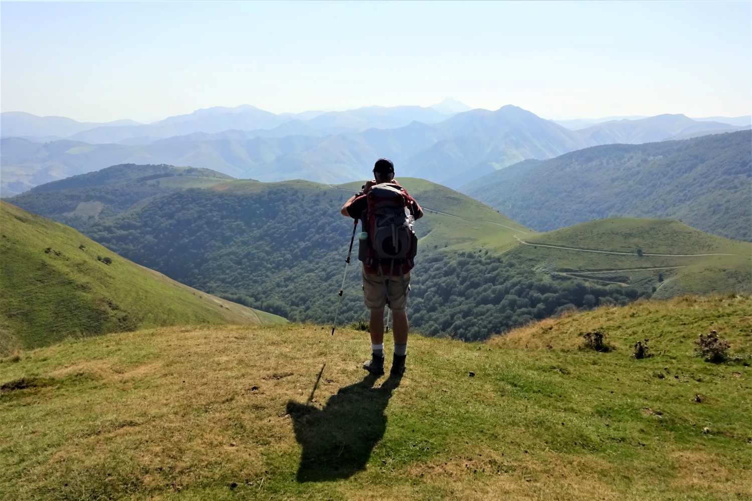
Although you continually approach the mountain range of the Pyrenees today, the Camino stretches smoothly. Your destination is Saint-Jean Pied-de-Port at the foothills of the Pyrenees, where only here the Camino starts to rise steeply.
Distance: 18 km. (11 mi.) | Difficulty: Easy
Day 37: Depature from Saint-Jean-Pied-de-Port
Farewell, Saint-Jean-Pied-de-Port; farewell, Camino – and safe travels on your journey back home or to your next adventure! Or, here is another option well-worth considering: to continue onto our first part of the Camino Francés, from Saint-Jean-Pied-de-Port to Pamplona.
What’s gonna be your Camino?
Get your free quote
Fields marked with * are mandatory and may not be left blank.
Tour Combination Options
Our Full Via Podiensis: Self-Guided Tour can be easily combined with:
Camino Francés:
Self-Guided Tour 1
Saint-Jean-Pied-de-Port ⇒ Pamplona
Starting from € 320
Duration: 6 Days Total / 4 Days Walking
Distance: 67.4 km. (41.9 mi.)
Difficulty: moderate/difficult

Full Camino Francés:
Self-Guided Tour
Saint-Jean-Pied-de-Port ⇒ Santiago de Compostela

