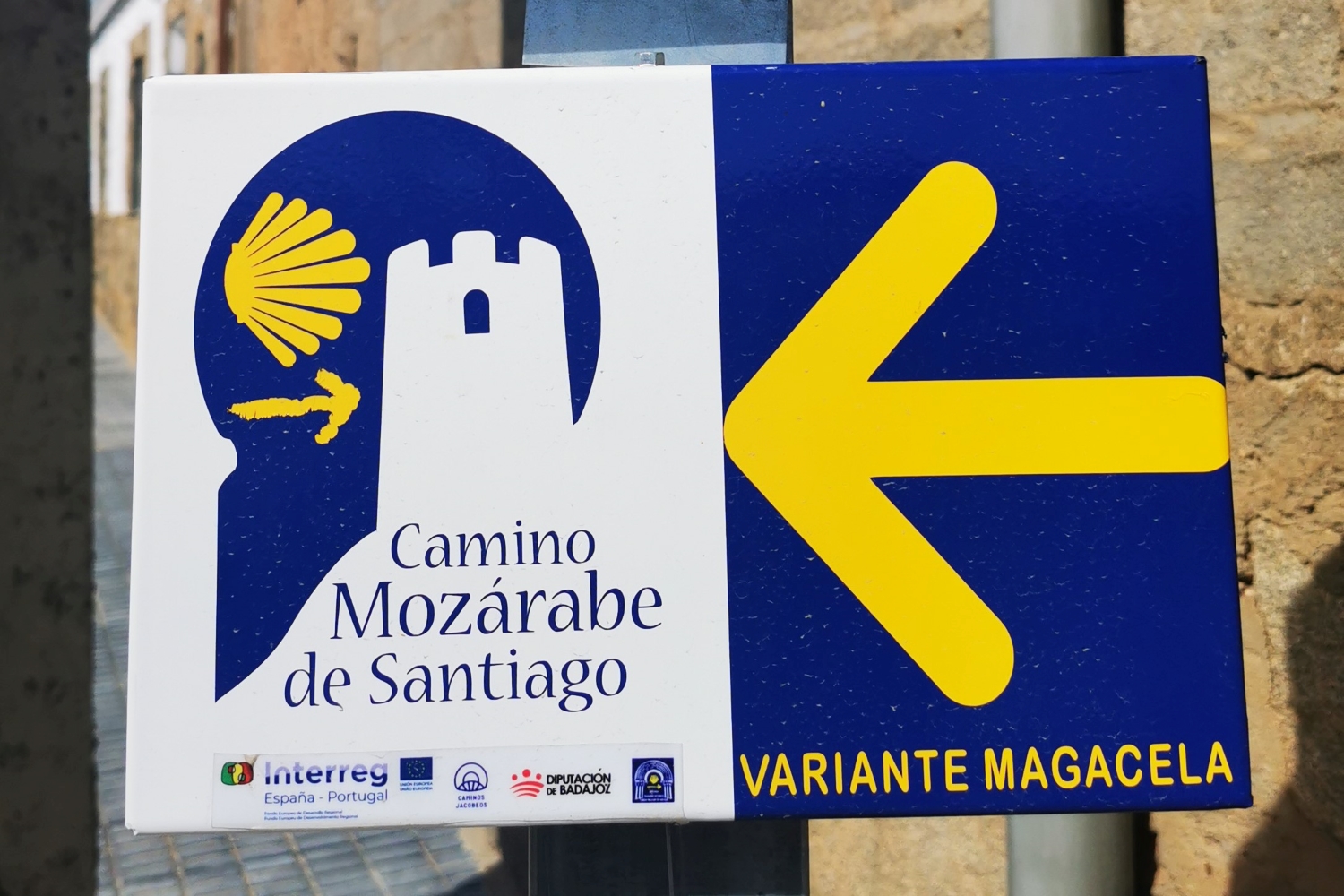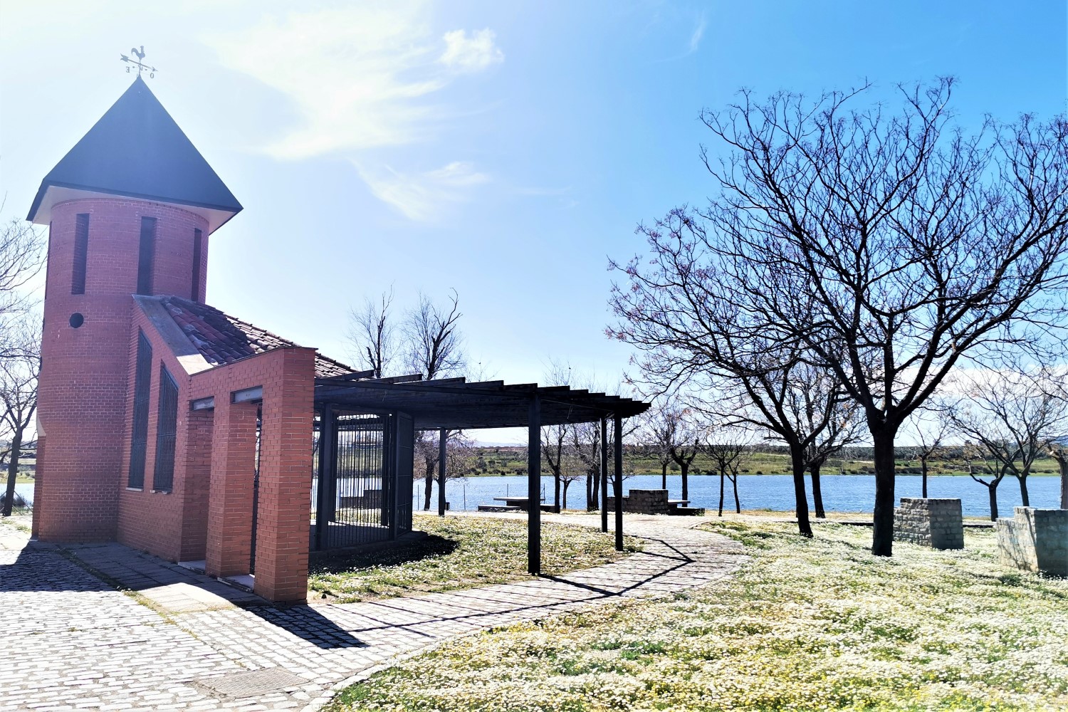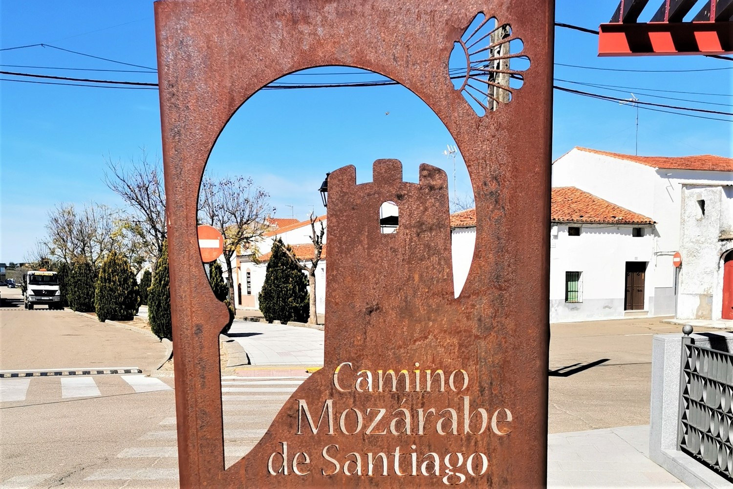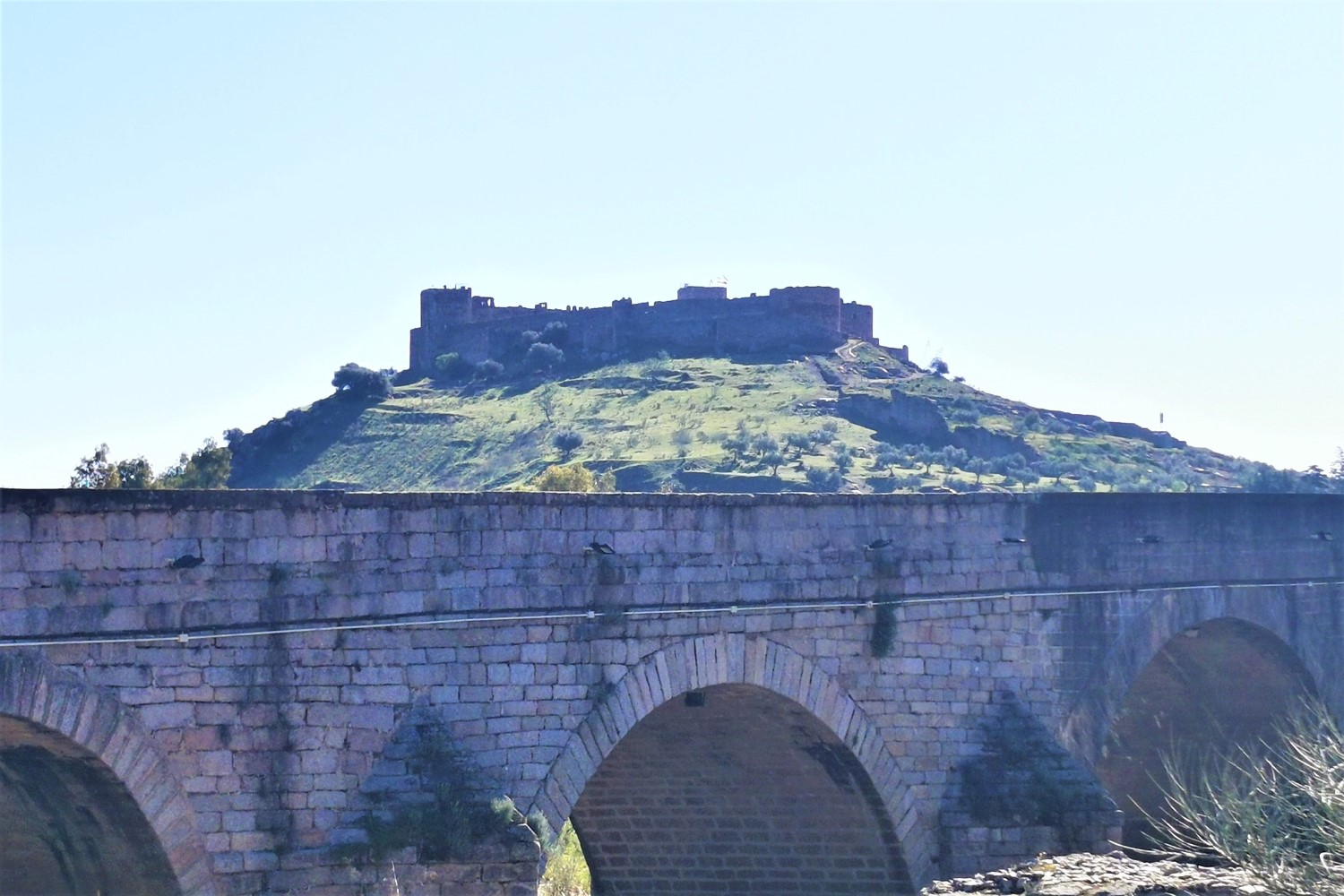
Full Camino Mozárabe
Self-Guided Tour
Granada ⇒ Mérida
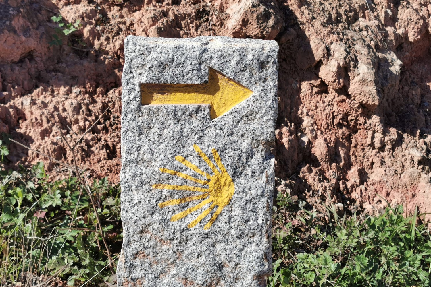
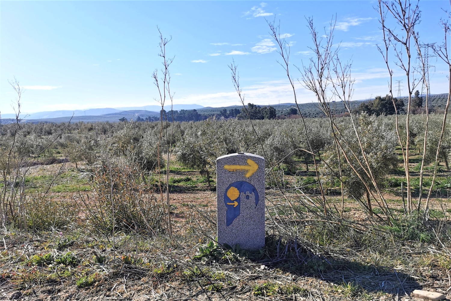
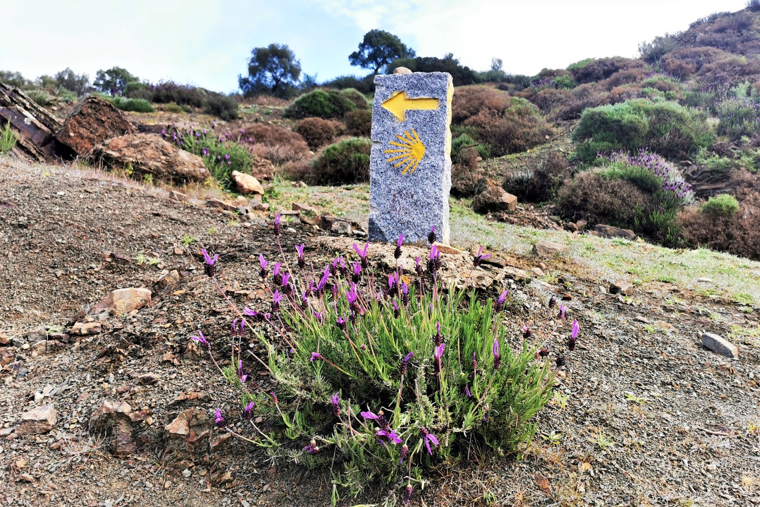
The Camino Mozárabe, or Mozarabic Way in English, is one of the “newest” pilgrimage routes. It begins in Granada and runs through Andalusia to Mérida, where it joins the Vía de la Plata (Silver Way).
Tour Type: Self-Guided
Duration: 22 Days Total / 20 Days Walking
Total Distance: 427.2 km. (265.5 mi.)
Difficulty: moderate
Average distance: 21.4 km. (13.3 mi.) / Day
Prices (per person):
Double Room:
Starting from € 1.160
Single-Occupancy Room:
Starting from € 1.680
What’s Included:
21 nights in single / double room
En-suite facilities
English-speaking emergency assistance
Your full digital Travel Info Package
Details ⇒
We are proud to be working together with hand-picked, high quality and mostly locally owned and operated service providers.
Your journey will be booked through, and your Travel Package will include all the information you will need to access your lodging locations and to process your check-in.
Optional Add-ons:
Breakfasts (subject to availability)
Lodging for additional night(s) stays
Airport transfers (by taxi)
Details ⇒
Breakfasts are not available everywhere, and they are often served late, starting around 8 am. However, if you wish to include brekfasts, we will be happy to do so, where possible.
Spending an extra night in a given town throughout your journey is often a good idea: you give your body a rest, relax and enjoy exploring the town. In Santiago, two nights are included in most of our Tours by default as we believe it’s the least a Pilgrim would need to enjoy the City; however, you have the option to opt out of it.
We will be happy to arrange for an airport shuttle transfer for you from your airport of arrival to the starting point of your journey. The same goes for the departure, unless you end your journey in Santiago and fly out of Santiago Airport. In that case, a taxi can be easily arranged for the time of your choice directly at the Reception Desk at your Hotel.
What’s not Included:
Flights
Luggage transfer on walking days
Travel Insurance
Tour guide
Meals
Details ⇒
We do not book flights, nor organize any rail or commercial bus-line travel. However, if you need assistance in deciding how to get to and back from your Camino Tour, we will be happy to assist you with tips and ideas!
There are no companies that provide luggage transfers on the Camino Mozárabe. If you wish to make use of this service, you can organize it directly on site through a local taxi company. The accommodations will be happy to help you with the organization.
We strongly recommend to all our travelers to get a Travel Insurance; however, we do not sell any such policies. For our international clients, it is best to get a policy in their country of residence, as some countries offer insurances only to their own residents.
This is a date-flexible tour; therefore, it is self-guided – no Tour Guide will be accompanying you. If you are interested in joining a Group Tour with a Tour Guide, please check our Guided Tours page. (Note: our Guided Tours take place on set dates that are planned ahead.)
Highlights
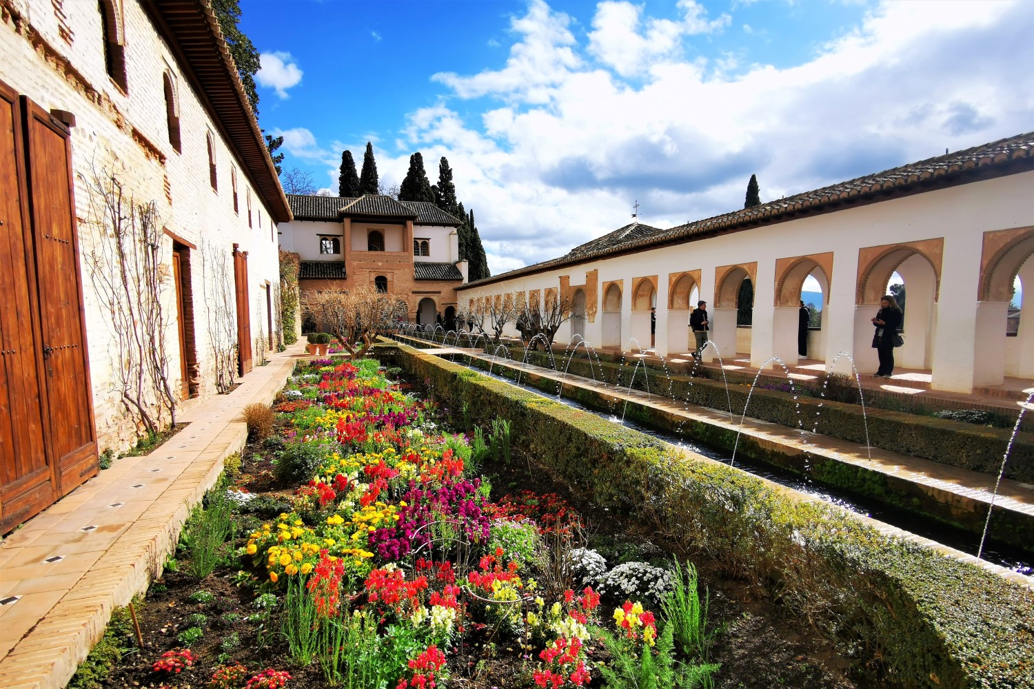
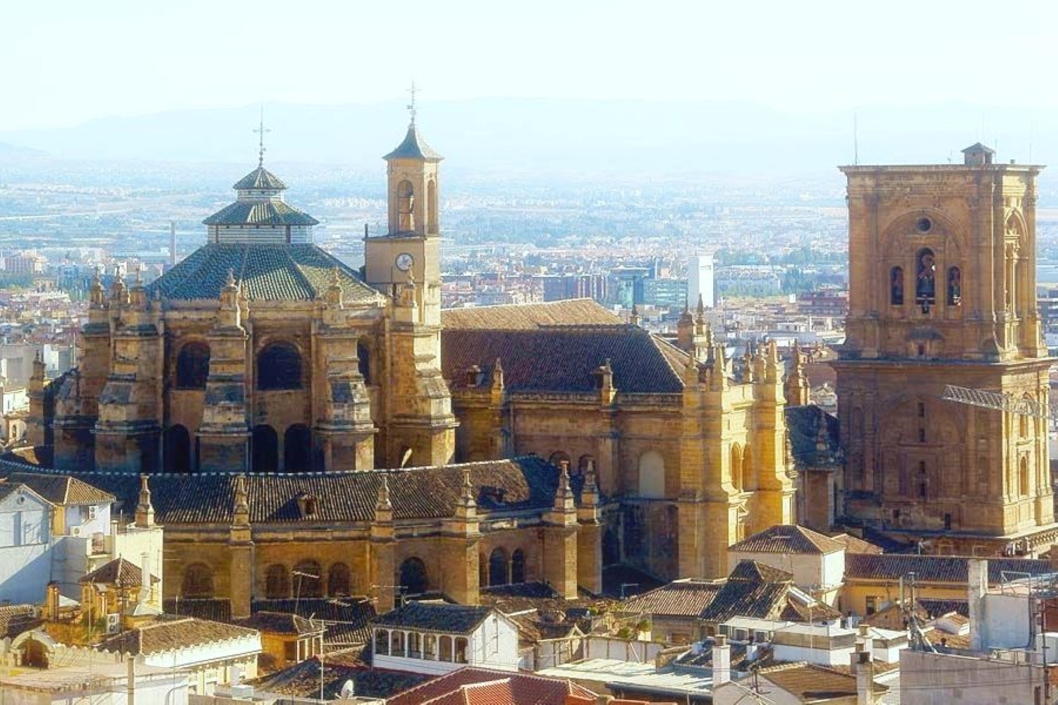
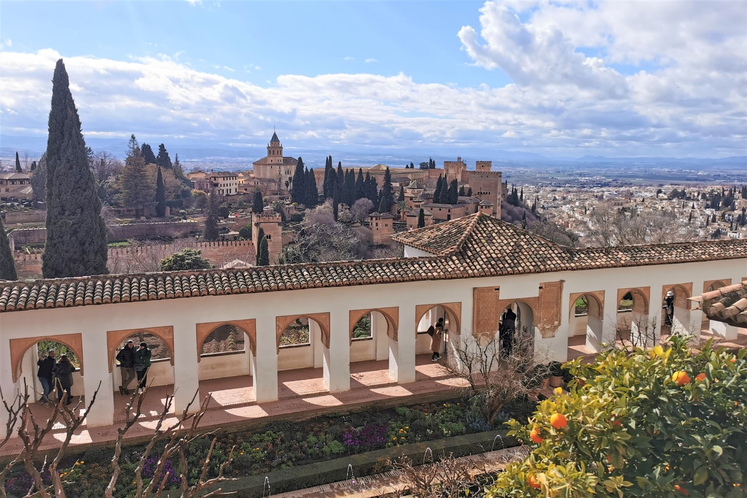
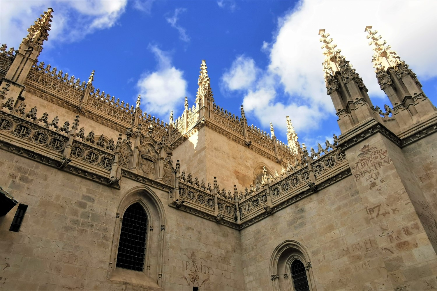
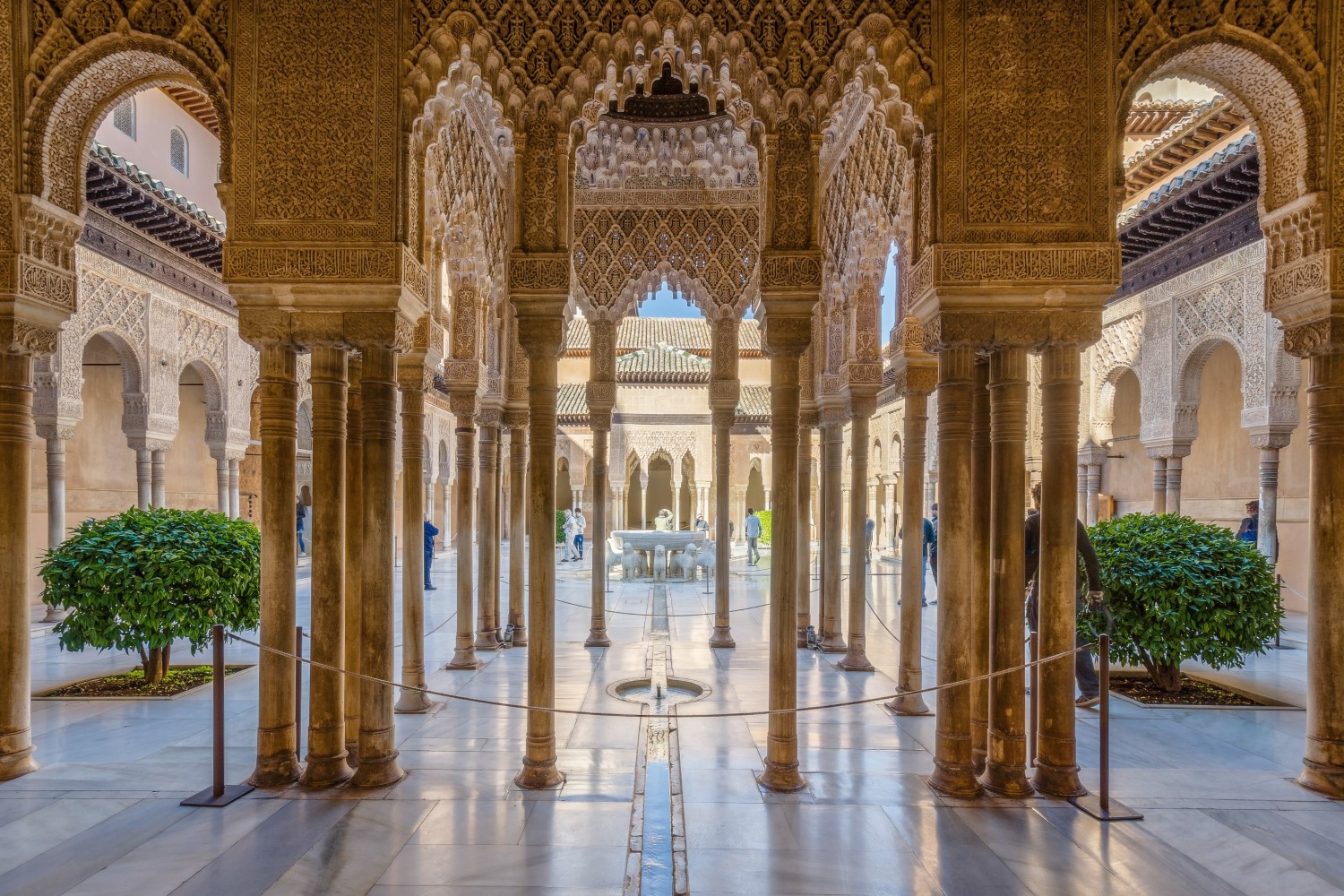
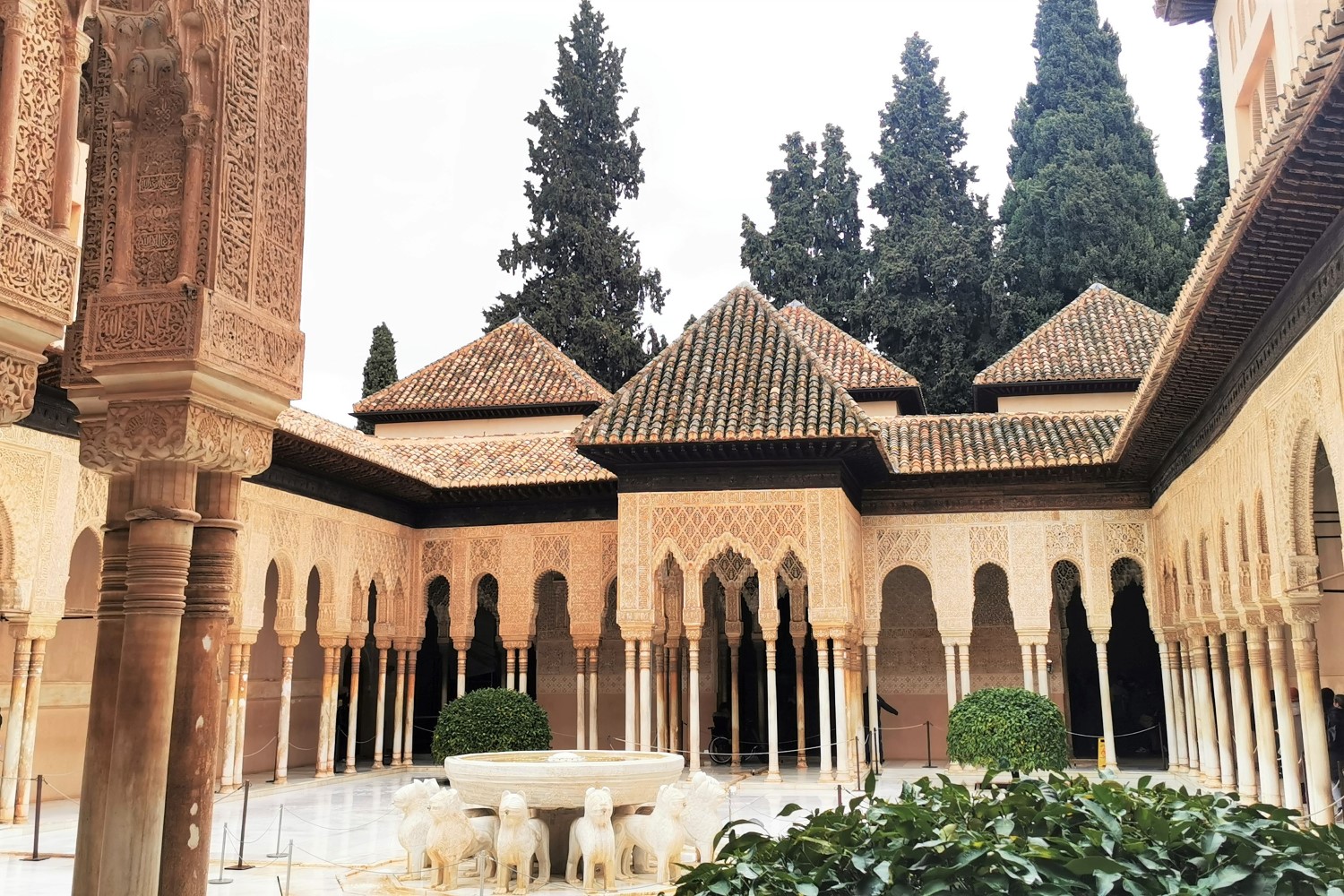
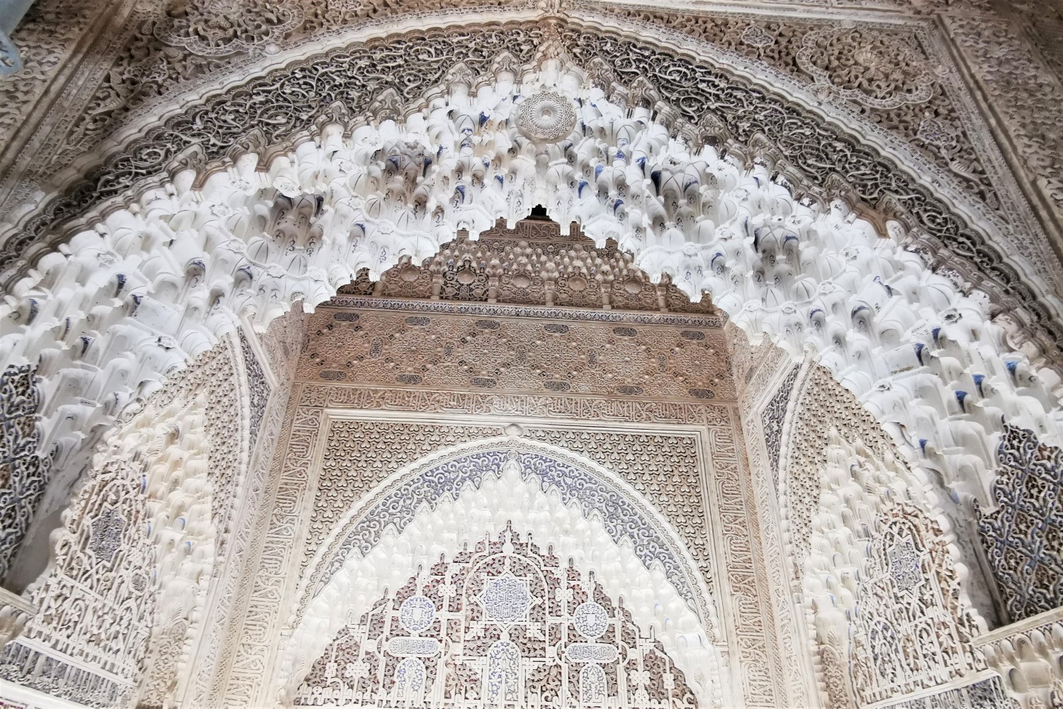
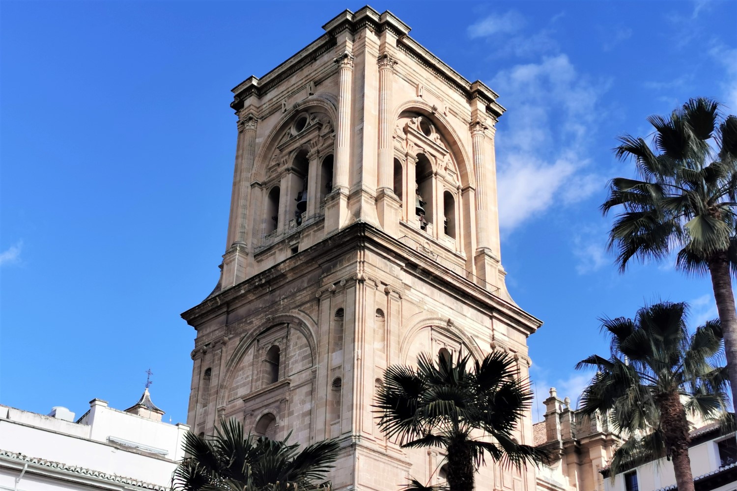
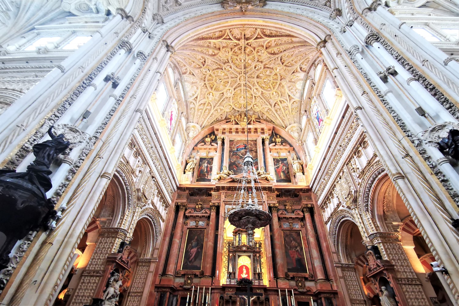
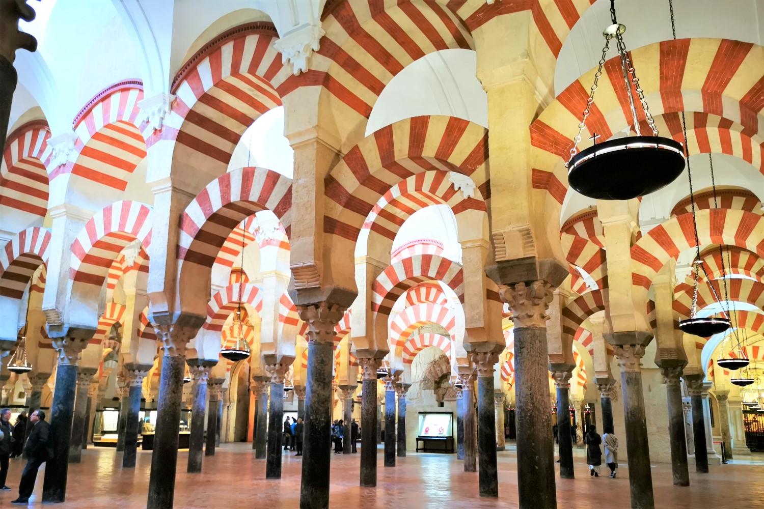
The first part of the Camino Mozárabe follows the so-called Route of the Caliphate (Ruta del Califato), a busy trade route between the two beautiful Arab centers of Granada and Córdoba. The Moorish influences on architecture have found their peak here and can be admired particularly in the Cathedral (and former mosque) of Córdoba and the Alhambra in Granada, which was a citadel, a palace, a fortification, and a mosque at the same time.
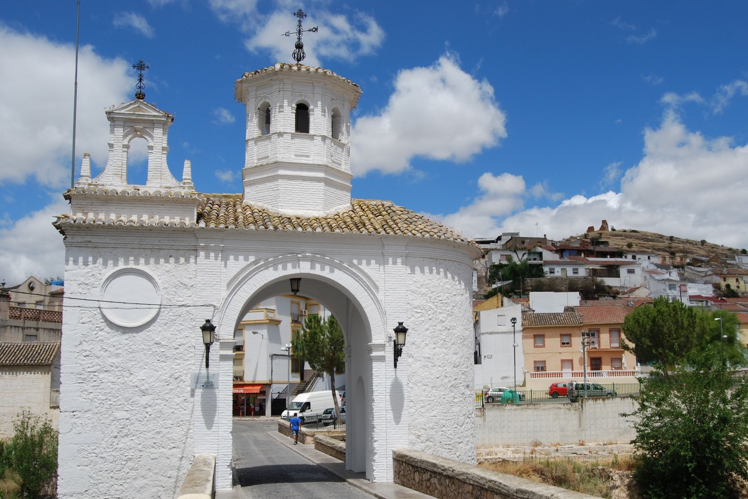
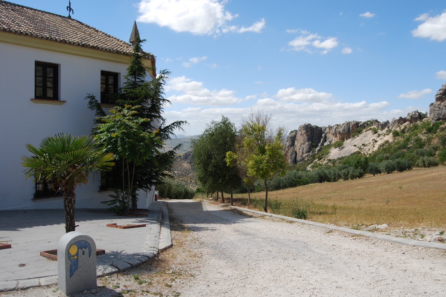
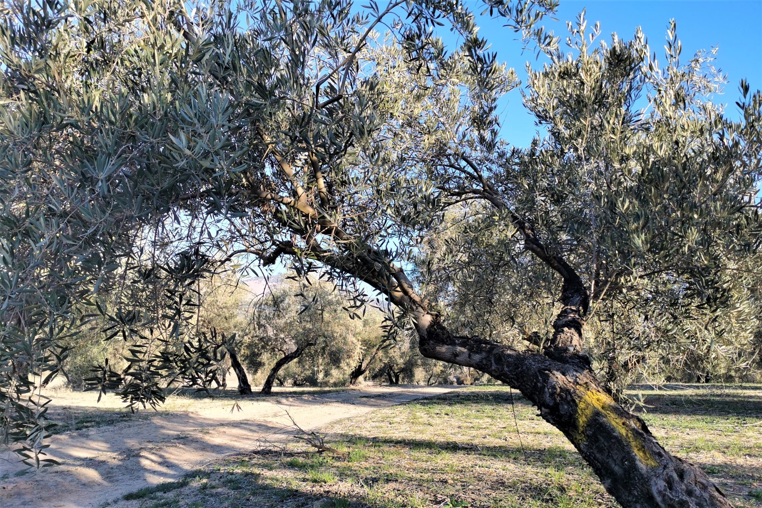
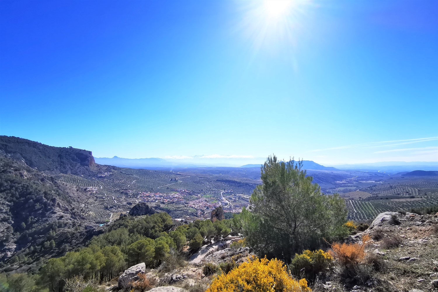
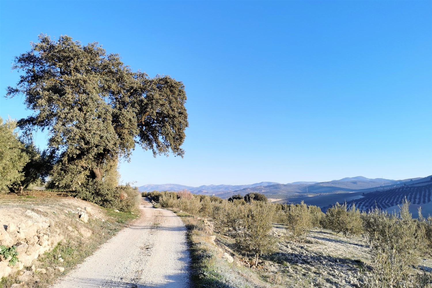
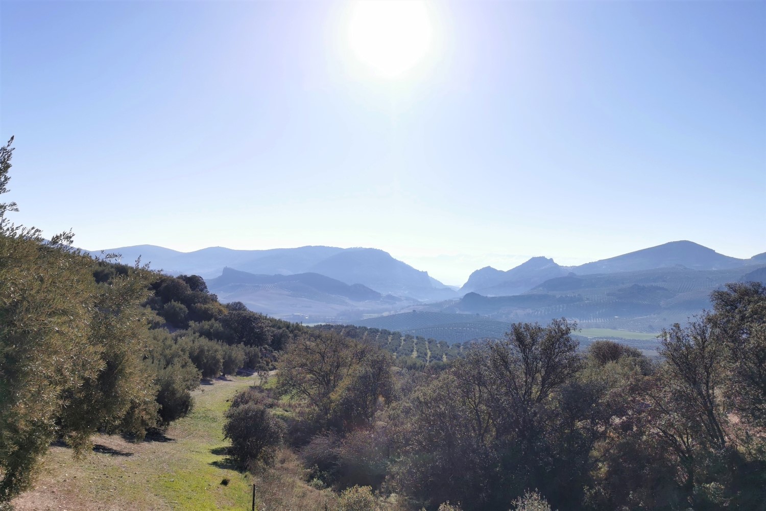
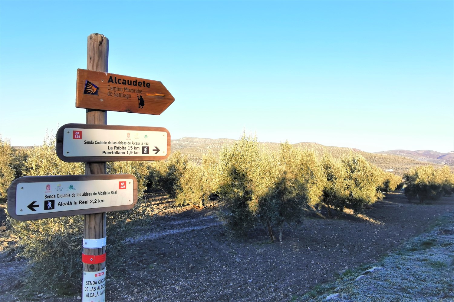
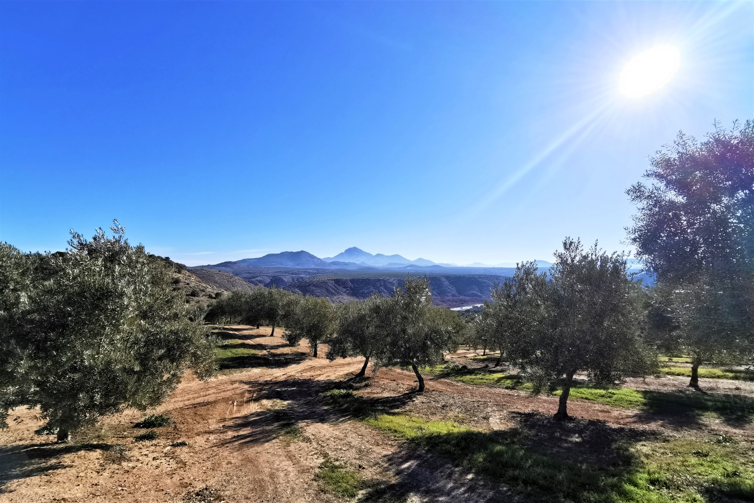
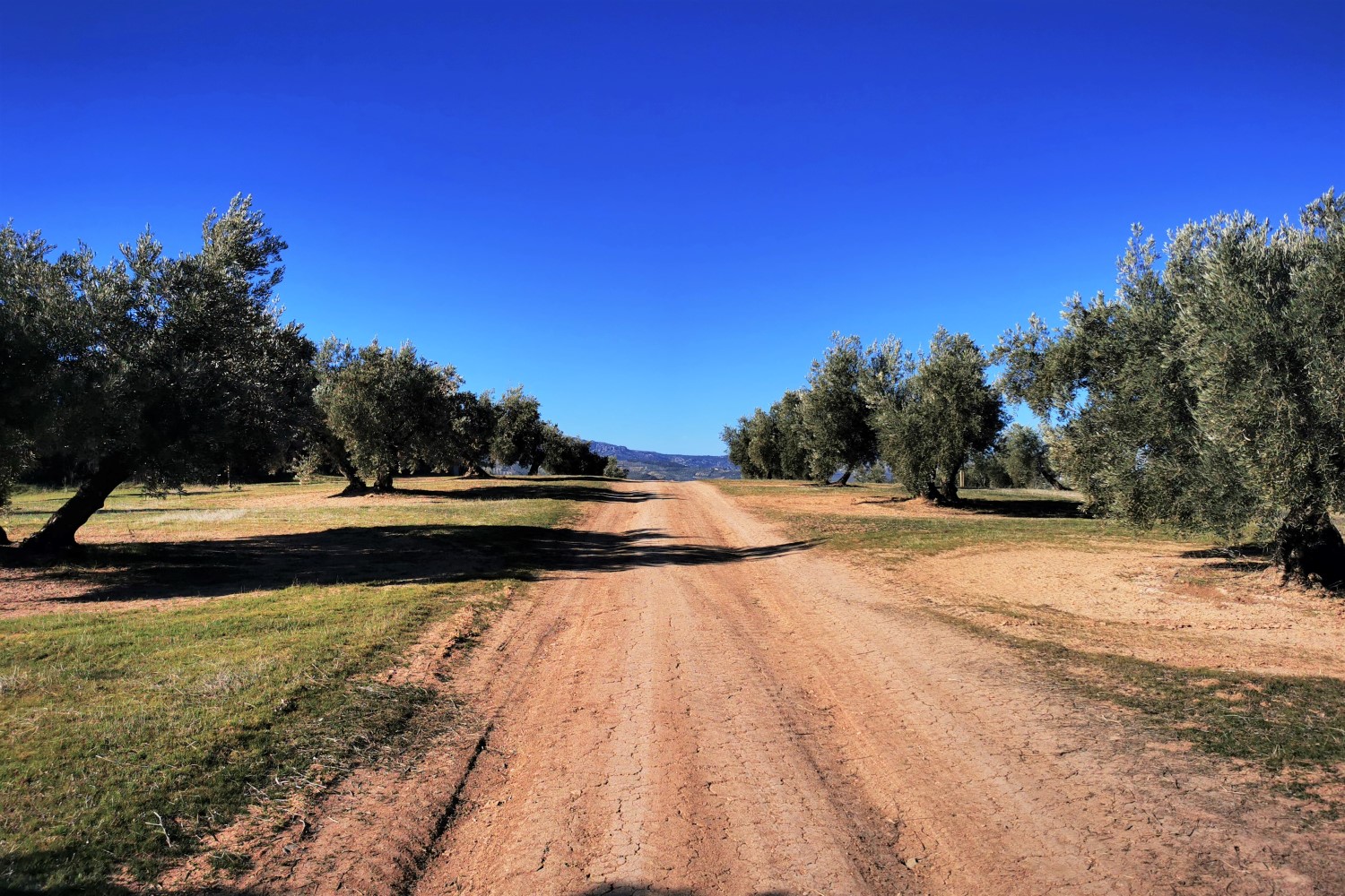
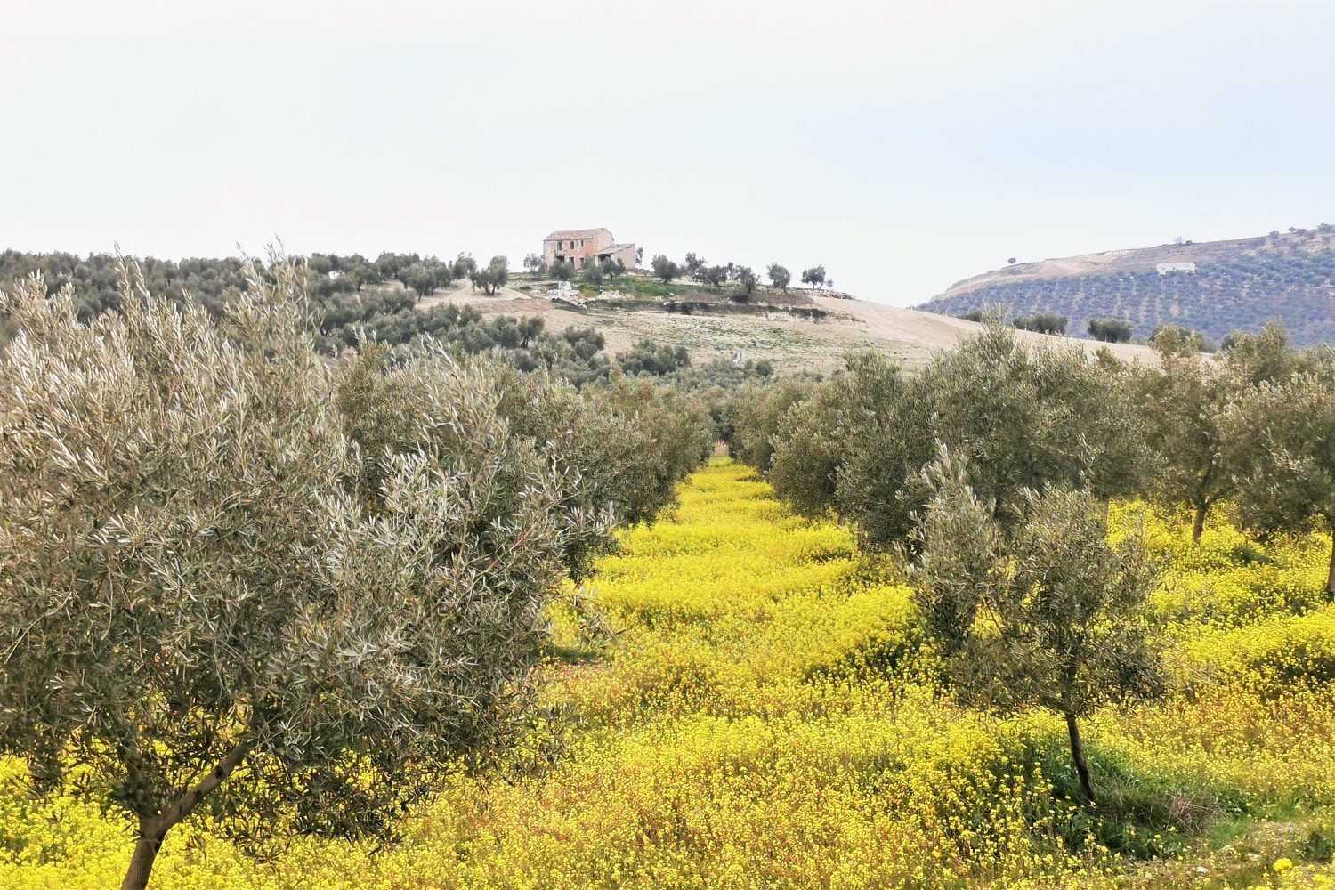
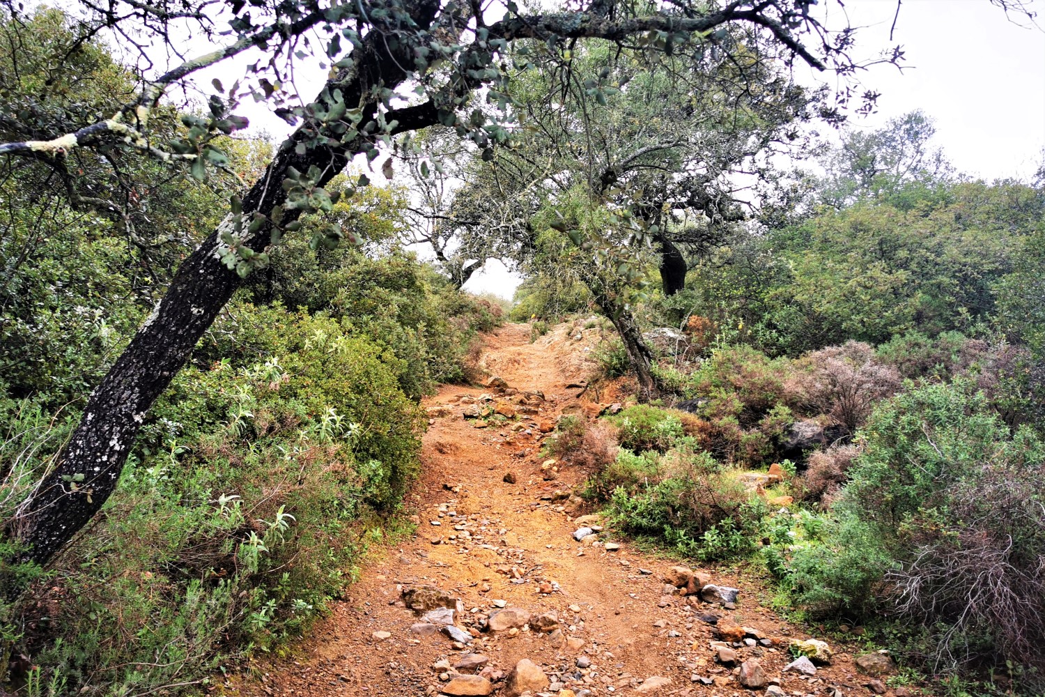
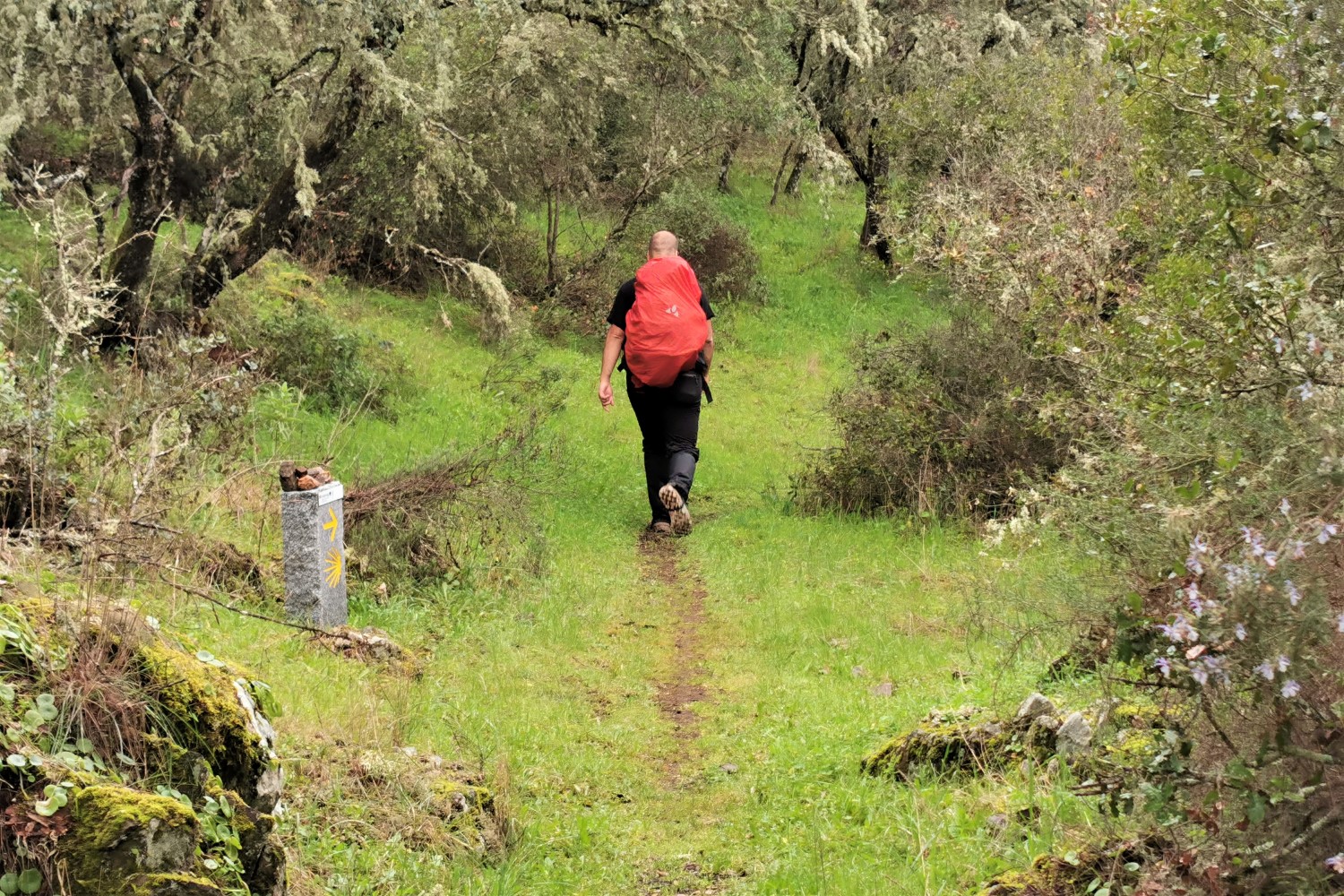
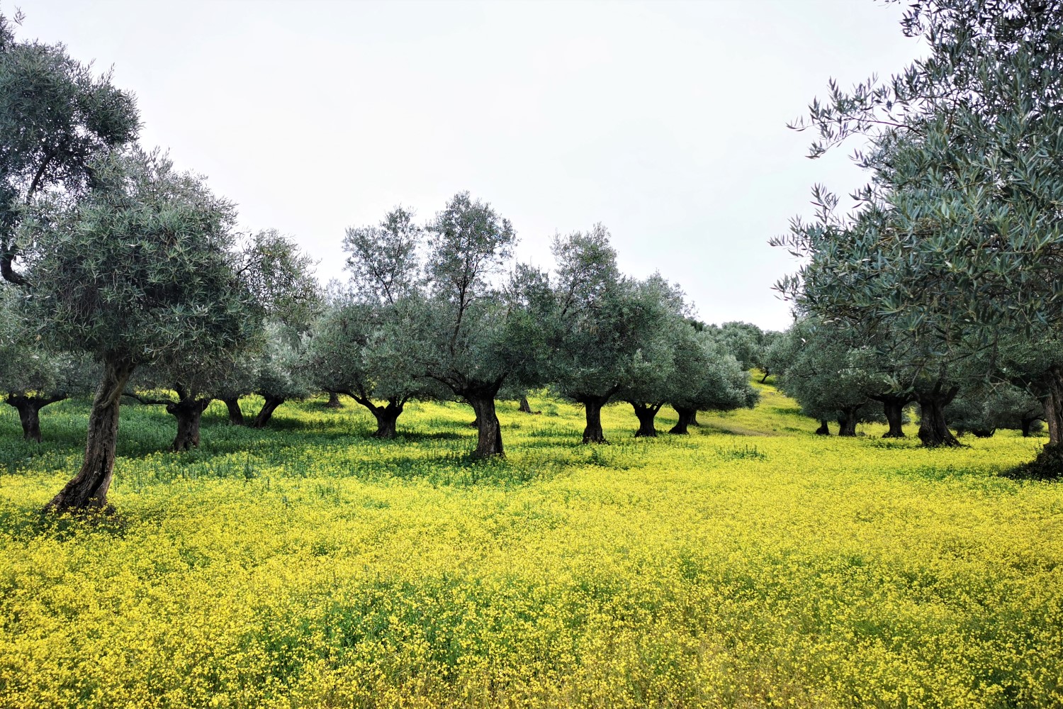
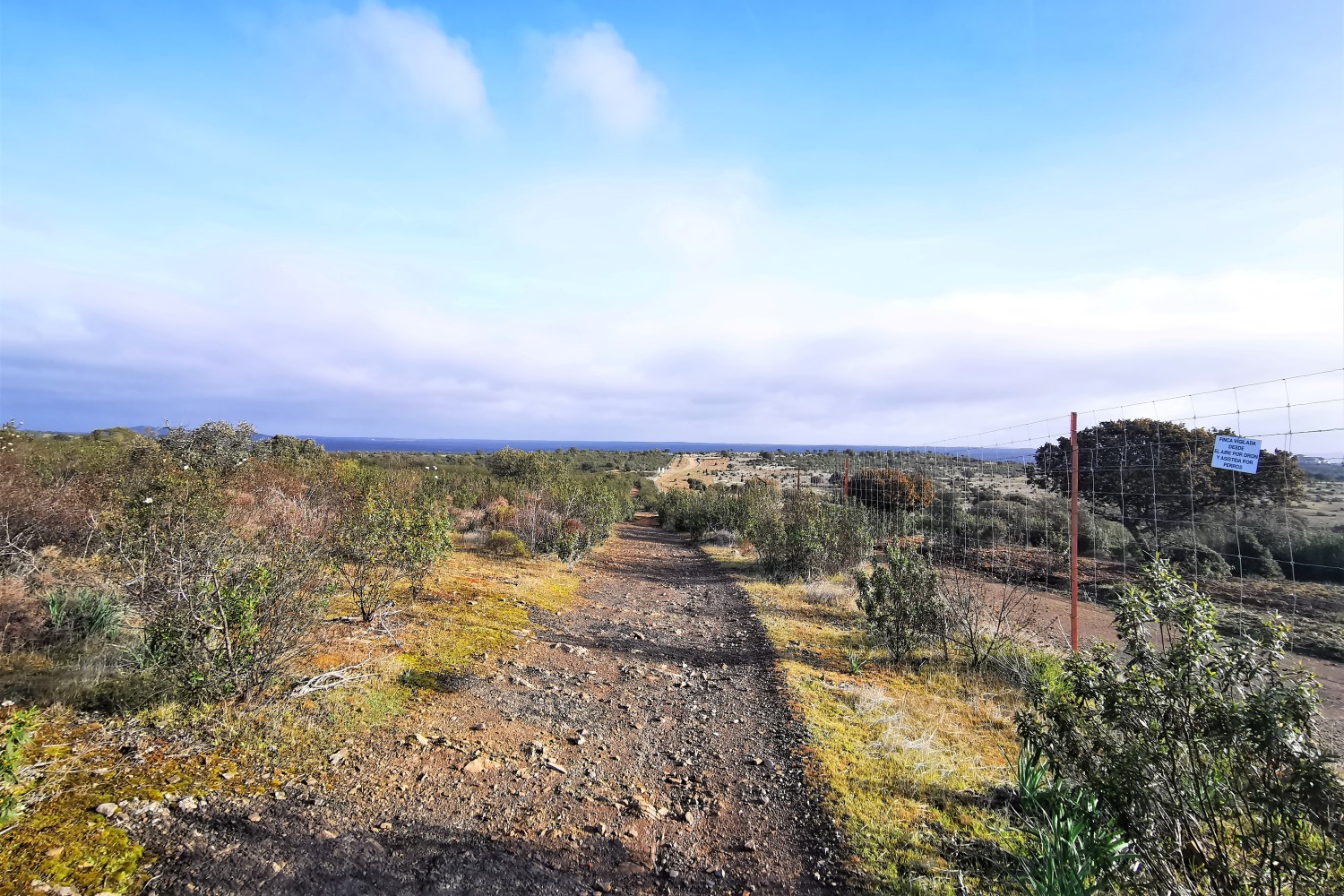
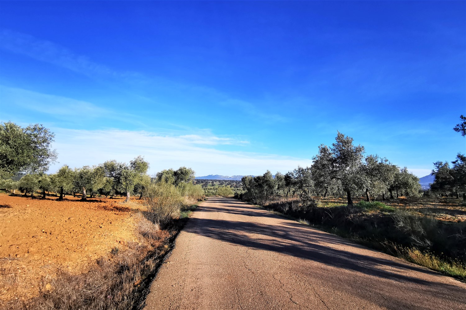
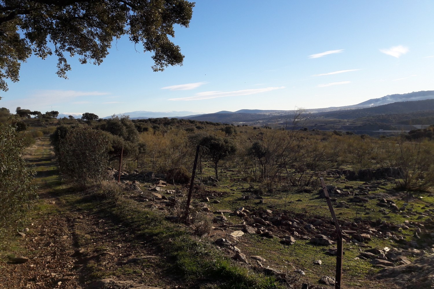
The Camino ascends and descends through various minor mountain ranges, such as the Sierra Subbéticas and the Sierra Morena past Córdoba. This only changes after a considerable distance past Córdoba. The landscape is mainly shaped by broad olive groves. On the Camino Mozárabe, there are not particularly many pilgrims yet and in general, the region is sparsely populated, so you meet very few people occasionally.
Impressions from the Camino
Itinerary
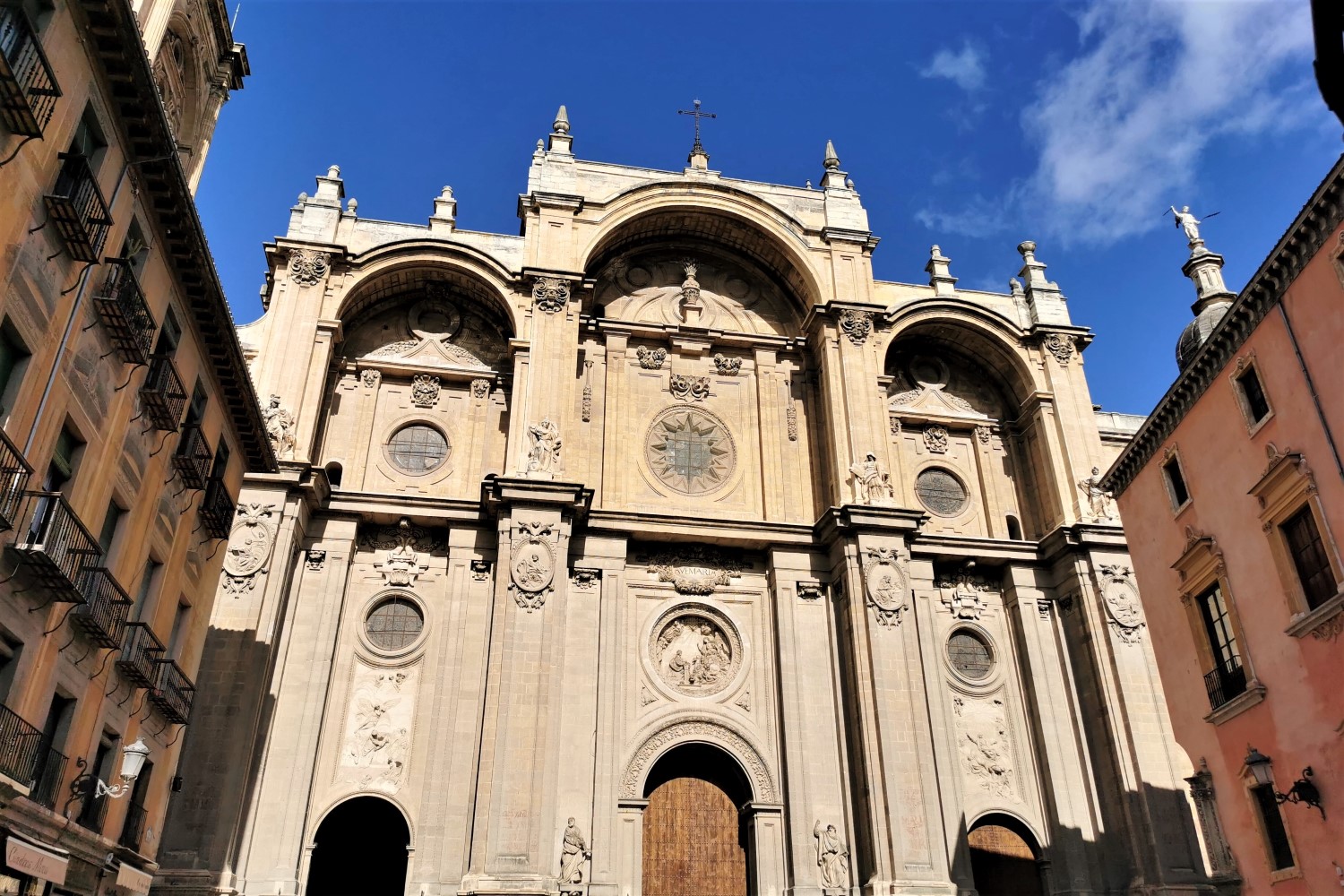
Day 1: Arrival in Granada
Arrival in Spain from your home country. Use public transportation from the airport in Granada to the hotel. Proceed to your room. Possible walk around Granada. Prepare mind and body for the Camino.
Day 1: Arrival in Granada
Independent arrival in Spain from your home country. Use public transportation from the airport in Granada to the hotel. Proceed to your room. Possible walk around Granada. Prepare mind and body for the Camino.
Day 2: Granada – Pinos Puente • 20 km. (12 mi.)
Your first pilgrimage stage begins today, which will take you on a flat route mainly through the greater Granada area. Outside the city, the route will take you around the elevation of Sierra Elvira to today’s destination, Pinos Puente. This municipality gained importance in the time of Christopher Columbus, as it was here where the treaty that secured the expedition to the Americas was signed.
Distance: 20 km. (12 mi.) | Difficulty: Easy
Day 3: Pinos Puente – Moclín • 14 km. (9 mi.)
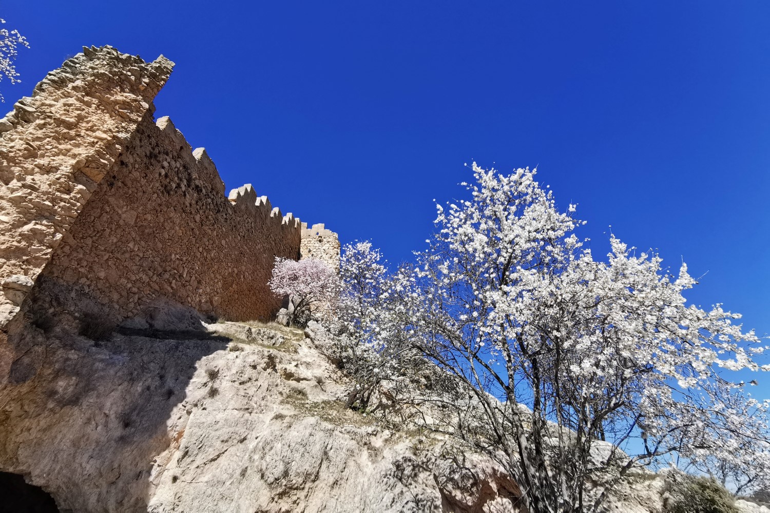
Even though today’s stage is quite short, you will have to overcome some elevations. Passing by olive plantations, the steep ascent to the mountain village of Moclín and its medieval castle, which you can see from some distance, takes place behind Los Olivares.
Distance: 14 km. (9 mi.) | Difficulty: Moderate/ Challenging
Day 4: Moclín – Alcalá la Real • 23 km. (14 mi.)
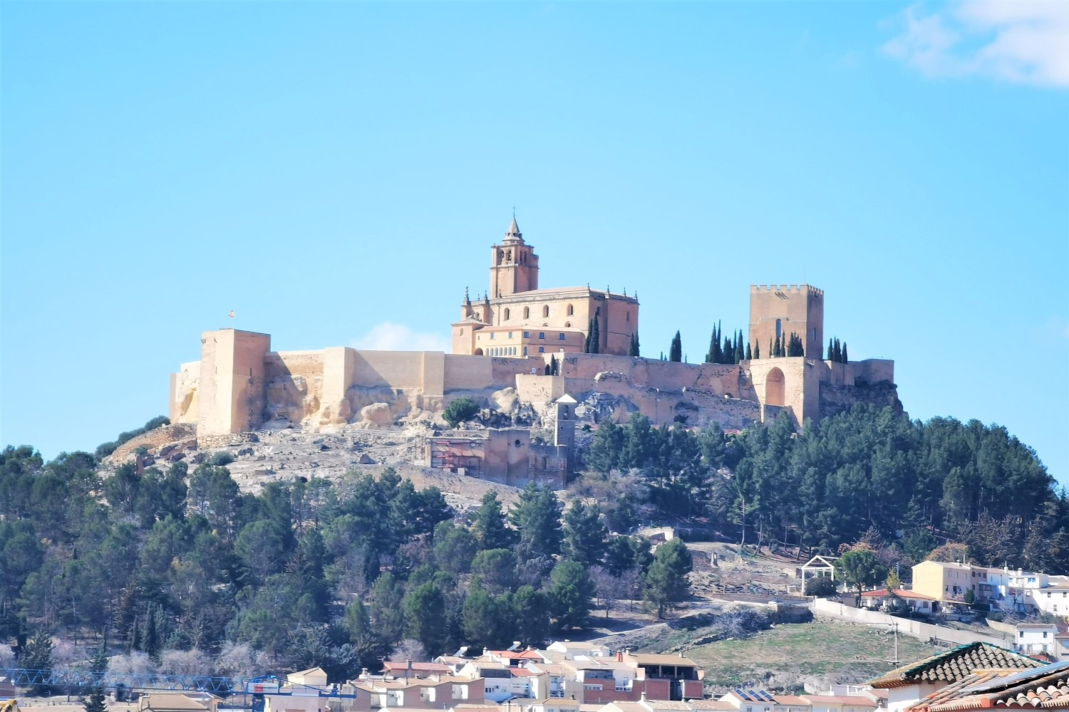
The beginning of today’s stage leads you first downhill and immediately uphill again. After this rather demanding section, you will continue on dirt tracks from the province of Granada to the province of Jaén in a more pleasant way. With slight ascents and descents, you will pass by an olive oil and cheese factory. Shortly before today’s destination, Alcalá la Real, you will already have an impressive view of the fortress Fortaleza de la Mota, which dominates over the roofs of the city.
Distance: 23 km. (14 mi.) | Difficulty: Moderate
Day 5: Alcalá la Real – Alcaudete • 24 km. (15 mi.)
The route continues steadily downhill through the province of Jaén and through a landscape characterized by olive plantations. After having crossed the San Juan River, you will shortly pass by a stonemason business. From here, a dirt road with almost no shadow leads you in a steady up and down until you reach Alcaudete. The ruins of the castle situated above the town are just as impressive as the Gothic church with its square steeple.
Distance: 24 km. (15 mi.) | Difficulty: Easy/ Moderate
Day 6: Alcaudete – Baena • 25.4 km. (15.8 mi.)
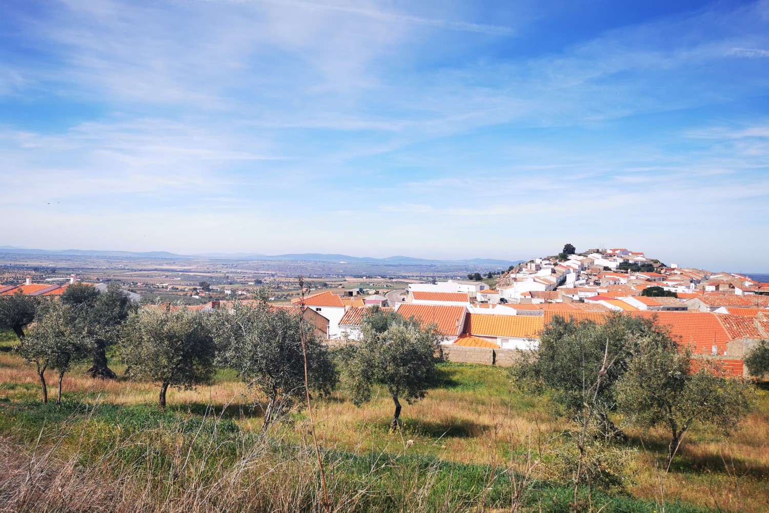
The route continues today past the already-familiar olive plantations from the last few days, with the ruins of the castle behind you. At the lowest point of today’s stage, you will cross the Guadajoz, a river that also serves as a natural border with the province of Córdoba. Constantly ascending, after a few kilometers/miles, you will have a beautiful panoramic view over olive plantations back to Alcaudete. A highlight of the stage is the descent to Laguna del Salobral, a picturesque lake surrounded by olive trees and hills. After your arrival in Baena, it is worth visiting the restored Moorish fort, from which you can enjoy a great view of the white houses of the small town.
Distance: 25.4 km. (15.8 mi.) | Difficulty: Moderate
Day 7: Baena – Castro del Río • 21 km. (13 mi.)
During today’s stage, you will first go up and down past seemingly endless olive plantations until you finally cross the Guadajoz halfway through the stage. After that, the route becomes visibly flatter and, on a little-frequented country road, you will hike near the river, which meanders through the riverbed, to Castro del Río, where the poet Miguel Cervantes began his novel Don Quixote.
Distance: 21 km. (13 mi.) | Difficulty: Easy
Day 8: Castro del Río – Espejo – Santa Cruz • 22.5 km. (14 mi.)
In Castro del Río, the road splits in order to reach Córdoba. You take the longer variant via Espejo and Santa Cruz, where you also spend the next night. Initially, you will hike parallel to the Guadajoz and soon reach a hill from where you can see Espejo with the Castillo El Ducal. After having passed the village, you will walk steadily through the well-known olive plantations until you reach today’s destination, Santa Cruz, which you could already see for the first time shortly after Espejo.
Distance: 22.5 km. (14 mi.) | Difficulty: Easy/ Moderate
Day 9: Santa Cruz – Córdoba • 26.5 km. (16.5 mi.)
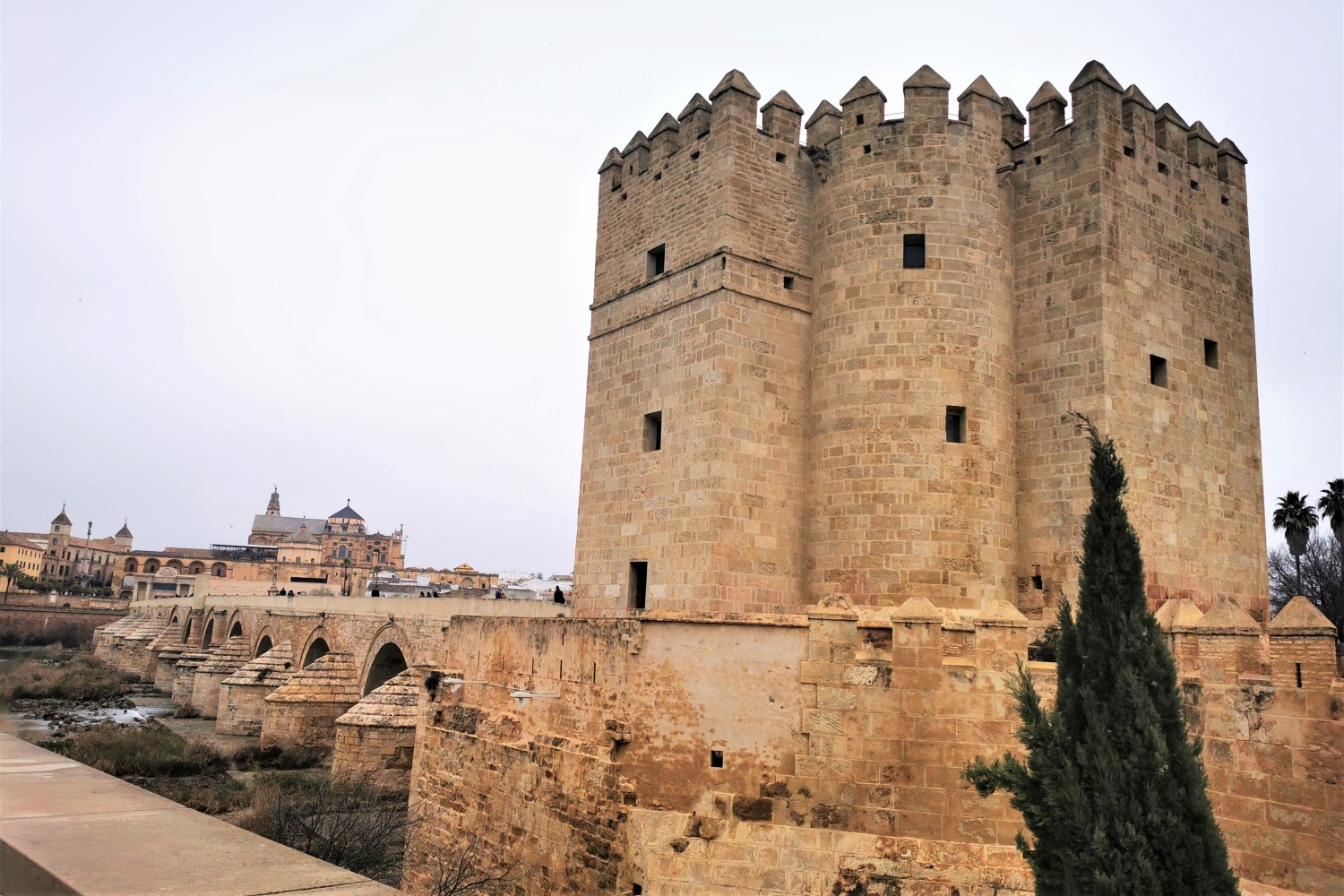
In the morning, you will leave Santa Cruz and initially start your pilgrimage with an ascent, crossing the Arroyo Jaco River. Soon, you will reach the point where the path you have traveled joins the shorter variant from Castro del Rio. With constant ups and downs, you will reach the first houses of Córdoba, the former metropolis of Moorish Spain, long before the end of your stage. Use the rest of the day to visit the Jewish quarter, the Roman bridge and, of course, the Mosque-Cathedral. Formerly a mosque, a Gothic cathedral was built inside, which may not be very impressive from the outside, but from the inside, with its many columns and decorations, it is well worth seeing.
Distance: 26.5 km (16.5 mi.) | Difficulty: Moderate
Day 10: Córdoba – Cerro Muriano • 17.8 km. (11.1 mi.)
In the morning, the first kilometers/miles on the Camino Mozárabe will take you out of the urban area of Córdoba until you cross the Arroyo River over an old Roman stone bridge. Flat at first, you will finally reach the Santuario de Nuestra Señora de Linares, but here is where the demanding ascent to today’s destination takes place, Cerro Muriano, at the foot of the Sierra Morena.
Distance: 17.8 km. (11.1 mi.) | Difficulty:Moderate with a demanding climb in the last kilometers/ miles
Day 11: Cerro Muriano – Villaharta • 21.3 km. (13.2 mi.)
During today’s stage, on flat paths always parallel to the country road, you will initially pass a military area and continue your pilgrimage all the way to Villaharta. Just before reaching the destination, a short detour invites you to visit the hexagonal brick house of the Fuente del Cordel.
Distance: 21.3 km. (13.2 mi.) | Difficulty: Easy
Day 12: Villaharta – Puerto del Calatraveño – (Alcaracejos) • 18 + 0.8 km. (11.2 + 0.5 mi.)
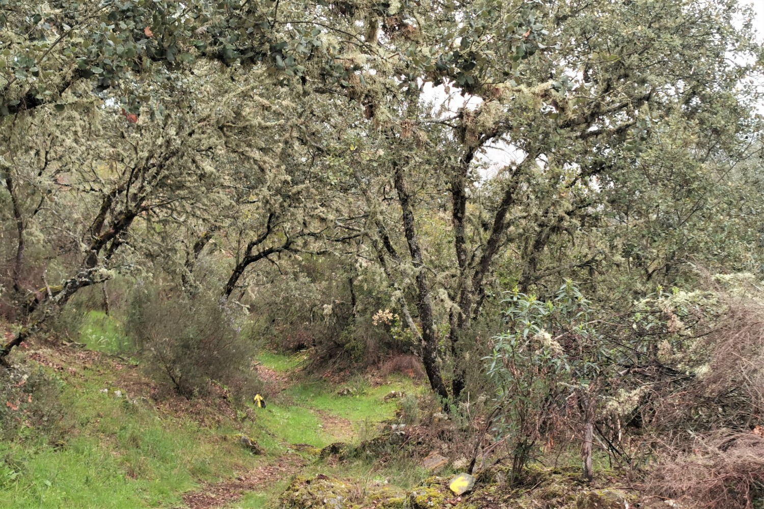
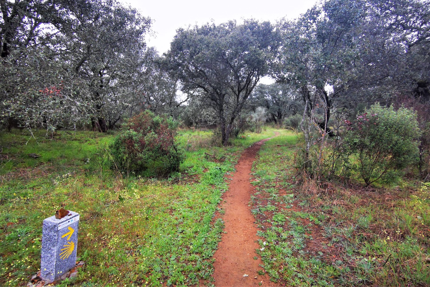
On secluded paths, you will walk alternating partly uphill and downhill through an extremely scenic Mediterranean landscape, characterized by oak and olive trees, and the Guadalbarbo. Somewhat off the route, a taxi (not included in the price, approximately 15 euros each way) will take you from Puerto del Calatraveño to the nice municipality of Alcaracejos, where you will spend the next two nights.
Distance: 18 + 0.8 km. (11.2 + 0.5 mi.) | Difficulty: Moderate
Day 13: (Alcaracejos) – Puerto del Calatraveño – Alcaracejos • 0.8 + 17.5 km. (0.5 + 10.9 mi.)
You will take a taxi back to Puerto del Calatraveño in the morning (not included in the price, approximately 15 euros each way). The now-flatter route takes you further through the lonely nature to Alcaracejos, where you already spent the last night.
Distance: 0.8 + 17.5 km. (0.5 + 10.9 mi.) | Difficulty: Easy
Day 14: Alcaracejos – Hinojosa del Duque • 21.5 km. (13.4 mi.)
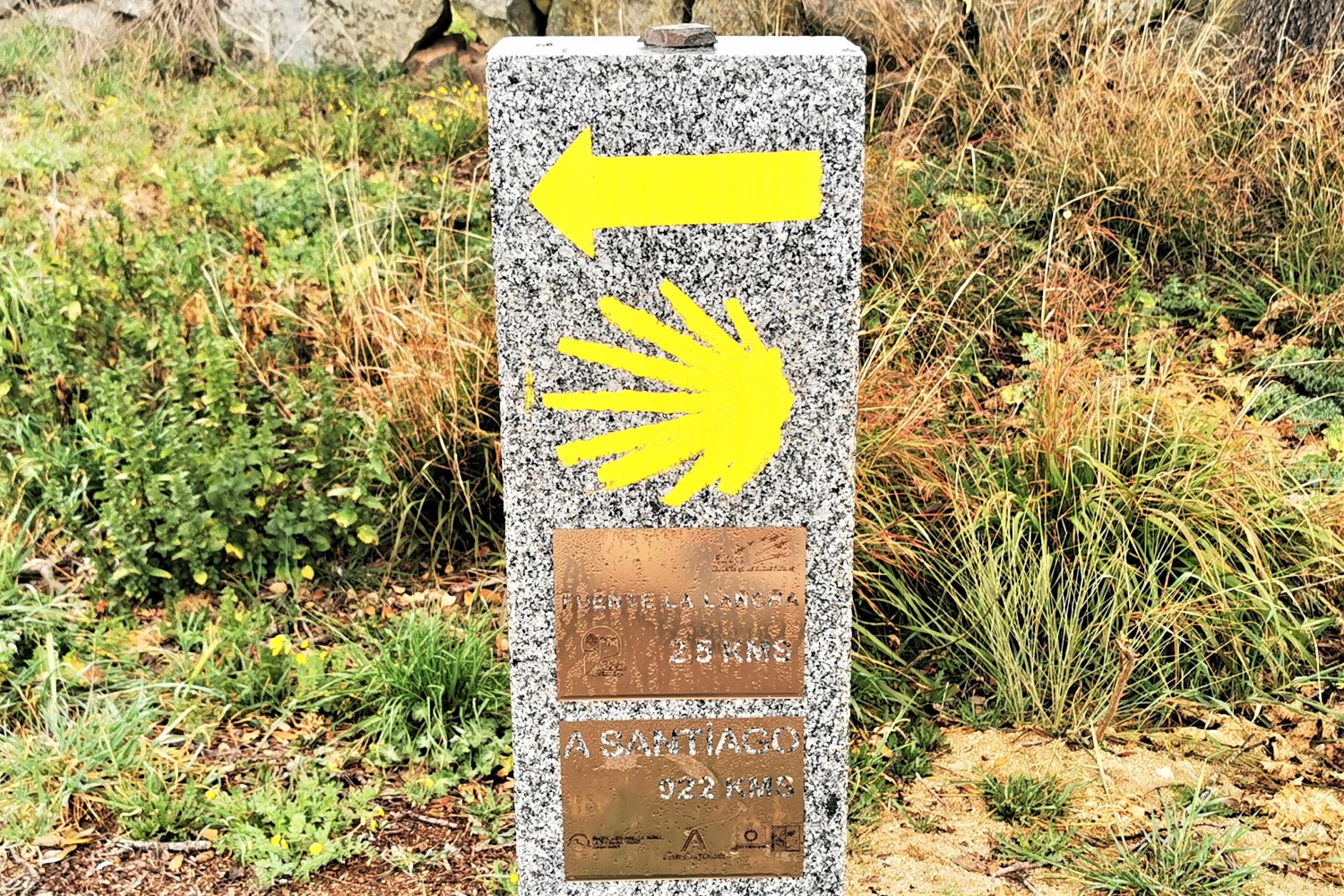
Sometimes more, sometimes less distant from the country road, you will hike past landscaped fields and meadows, and through the villages of Villanueva del Duque and Fuente la Lancha to the small town of Hinojosa del Duque, the destination of today’s stage.
Distance:21.5 km. (13.4 mi.) | Difficulty: Easy
Day 15: Hinojosa del Duque – Monterrubio de la Serena • 32.3 km. (20.2 mi.)
This long but fairly easy stage takes you most of the way through a remote landscape of fields and pastures, including a river crossing of the Zujar. For the last 9 kilometers/5.6 miles approximately, you will follow the paved country road that takes you from the autonomous region of Andalusia to Extremadura and Monterrubio de la Serena.
Distance: 32.3 km. (20.2 mi.) | Difficulty:Moderate, long stage
You have the option to take a taxi to cover the last kilometers/miles along the country road (not included in the price, approximately 15 euros for the route).
Day 16: Monterrubio de la Serena – Castuera • 18.4 km. (11.4 mi.)
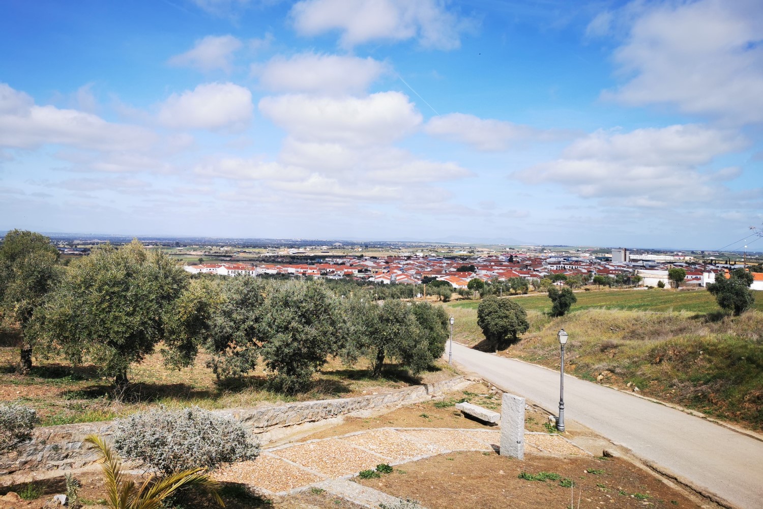
The relatively-short stretch follows a little-used, paved country road through olive groves and pasture areas all the way to the municipality of Castuera and its typical Spanish white houses and red roofs.
Distance: 18.4 km. (11.4 mi.) | Difficulty: An easy, but asphalted road
Day 17: Castuera – Campanario – (Don Benito) • 22.5 + 3 km. (14 + 1.9 mi.)
Also today, fields and pastures are again your constant companions on the lonely stretch of the Camino Mozárabe. In the lovely municipality of Campanario, you will pass by the church, well worth seeing, before you follow the route a bit further out of town to take the train to Don Benito (not included in the price, approximately 3 euros per person/route), where you will spend the next two nights.
Distance: 22.5 + 3 km. (14 + 1.9 mi.) | Difficulty: Easy
The train between Campanario and Don Benito runs three times a day (morning, noon, and evening. This is, however, subject to change). Alternatively, this stretch can be covered by taking a taxi.
Day 18: (Don Benito) – Campanario – Don Benito • 3 + 25.9 km. (1.9 + 16.1 mi.)
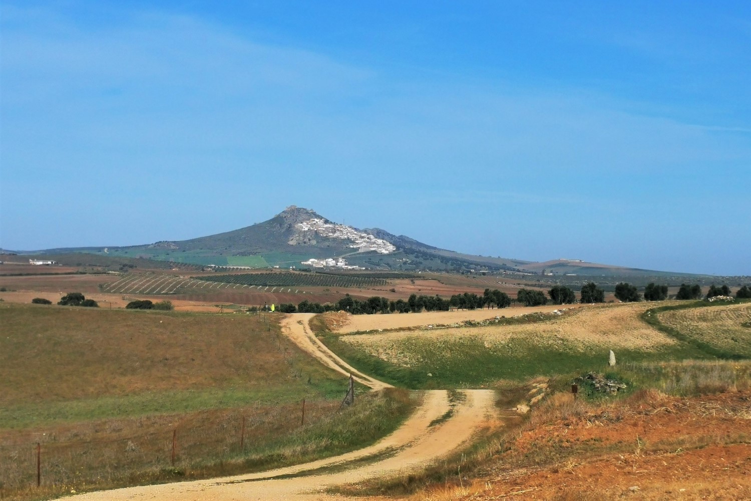
By train or taxi, you will initially return to Campanario to continue your pilgrimage on the Way of Saint James. Once again, on mainly flat and rural paths, you will see the municipality of Magacela from afar and its white houses on the slope of a mountain. You have a choice here: the path will take you both up the village and around it. However, we recommend that you take the path into the village to enjoy the magnificent view of the Extremadura landscape. Afterwards, you will continue through the small municipality of La Haba and its beautiful village square until you reach the larger town of Don Benito.
Distance: 3 + 25.9 km. (1.9 + 16.1 mi.) | Difficulty: Moderate
Day 19: Don Benito – Santa Amalia • 19 km. (11.8 mi.)
Parallel to the country road, you will initially hike to Medellín, whose medieval castle is enthroned above the village. You will cross the Guadiana over the Roman bridge and shortly after, you will leave the little-frequented country road on an old cattle drive route past olive groves and fields to reach your destination for the day, Santa Amalia.
Distance: 19 km. (11.8 mi.) | Difficulty: Easy
Day 20: Santa Amalia – San Pedro de Mérida • 20 km. (12.4 mi.)
The first kilometers/miles will still take you on remote paths along the Búrdalo. Until just before Torrefresneda, you will cover the rest of the distance on the highway all the way to San Pedro de Mérida.
Distance: 20 km. (12.4 mi.) | Difficulty: Easy, but longer along the highway
Day 21: San Pedro de Mérida – Mérida • 16.6 km. (10.3 mi.)
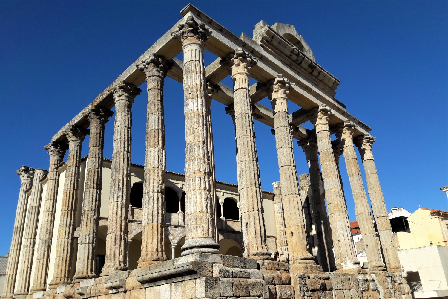
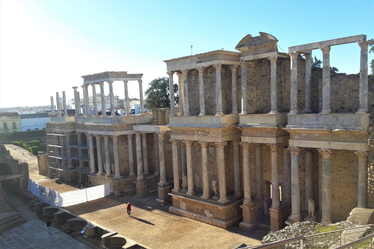
The last short stage of the Camino Mozárabe takes you further along the highway. Shortly after Truillanos, you finally turn your back on the highway in order to reach your destination, Mérida, passing fields and farmlands. Use the rest of the day to visit the old Roman city and its many sights.
Distance: 16.6 km. (10.3 mi.) | Difficulty: Easy
Day 22: Departure from Mérida
Farewell,Mérida; farewell, Camino – and safe travels on your journey back home or to your next adventure! Or, here is another option well-worth considering: to continue onto our next Part 2 of the Via de la Plata, from Mérida to Carcaboso.
¡Buen Camino!
What’s gonna be your Camino?
Get your free quote
Fields marked with * are mandatory and may not be left blank.
Tour Combination Options
Our Full Camino Mozárabe: Self-Guided Tour can be easily combined with:
Via de la Plata:
Self-Guided Tour 2
Mérida ⇒ Carcaboso

